Runway & Layout

Runways · 1
| Runway | Dimensions | Surface | True heading | Lit |
|---|---|---|---|---|
| 06/24 | — | — | — | — |
Airport Specifications
IATA code
SPR
ICAO code
MZSP
Airport class
Medium airport
Scheduled service
Yes
Served city
San Pedro
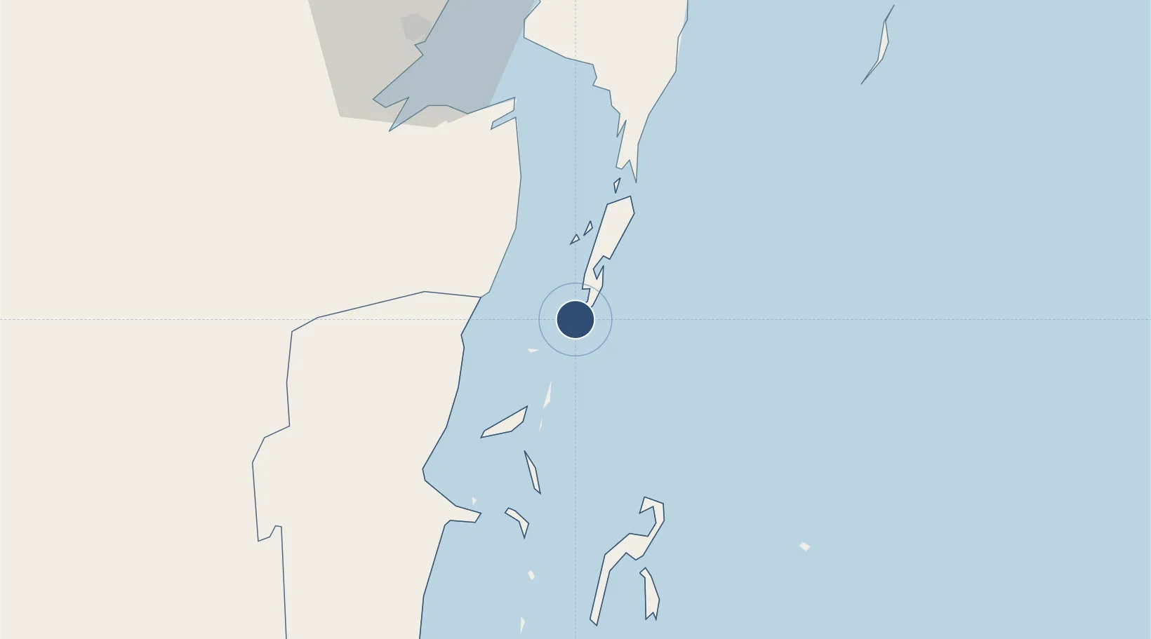
Location
Nearby Logistics Neighbours
Airports
Cities
- 1Belize City54 km
- 2Benque Viejo64 km
- 3Dangriga109 km
- 4Big Creek162 km
- 5Puerto Cortés232 km
Ports
- 1Belize City51 km
- 2Puerto Costa Maya96 km
- 3Big Creek162 km
- 4Puerto Cortes231 km
- 5Coxen Hole233 km
Trade Zones
DatabookThe Record of Consolidated Knowledge
Belize beyond logistics?