Medium airport · Mexico

Chetumal International AirportMMCM
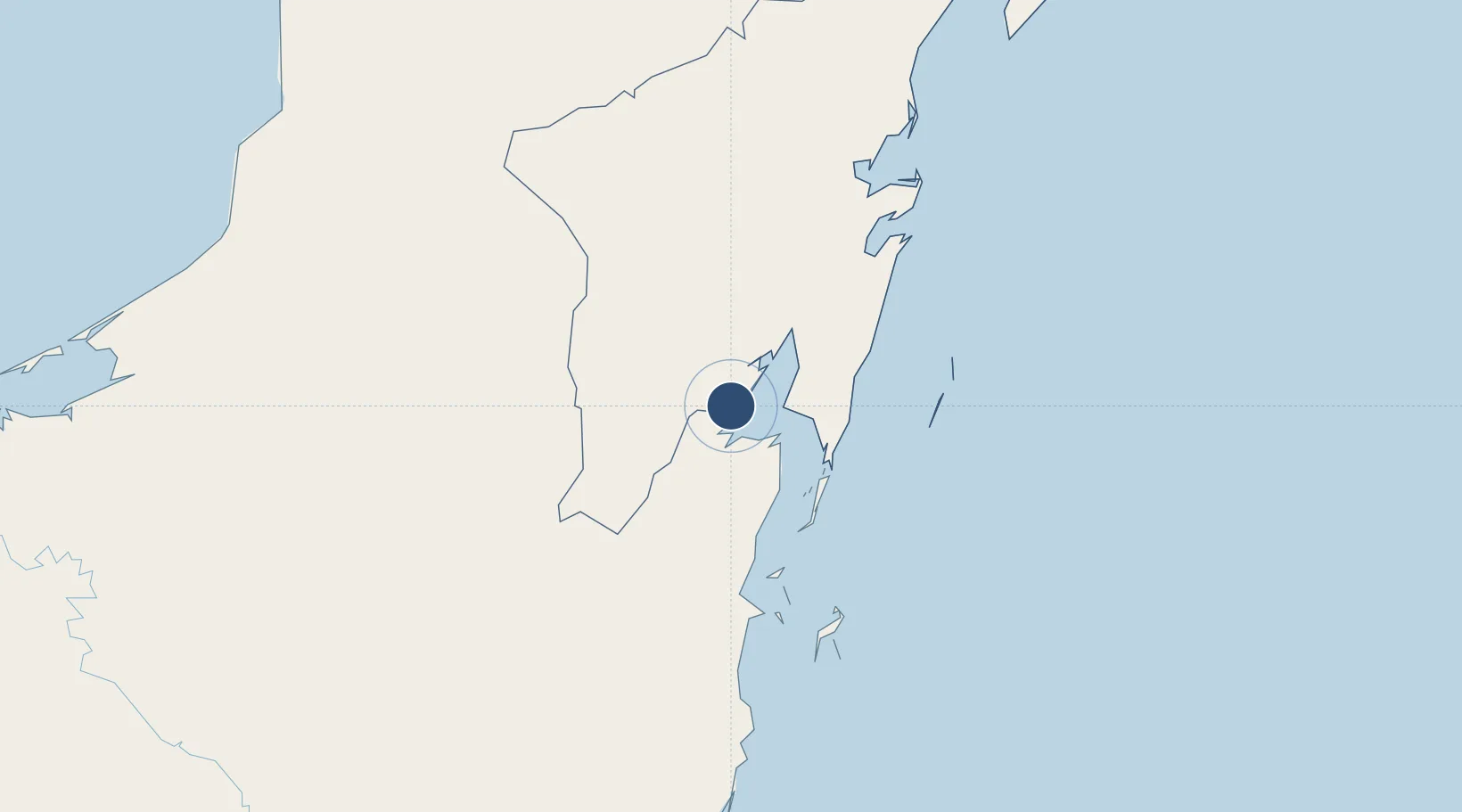
18.5050°, -88.3280°
7,244 ft
Longest runway
1
Runways
39 ft
Elevation

Runway & Layout

Chetumal International Airport runway & taxiway layout
Runway & taxiway layout — OpenStreetMap (ODbL) / OurAirports

Radio Frequencies

TWR
118.8 MHz
OurAirports

Navaids

CTM VOR-DME Chetumal 116.30 MHz
OurAirports

Runways · 1

RunwayDimensions SurfaceTrue headingLit
10/28 7,244 × 151ft Asphalt 108°
OurAirports

Airport Specifications

IATA code
CTM
OurAirports
ICAO code
MMCM
OurAirports
Airport class
Medium airport
OurAirports
Scheduled service
Yes
OurAirports
Runway surface
Asphalt
OurAirports
Served city
Chetumal
OurAirports

Location

Location of MMCM
Natural Earth 10m (public domain) · Quintana Roo · MMCM · 18.50, -88.33GoogleOSMYandex

Nearby Logistics Neighbours

Airports
  1. 1Corozal Airport16 km
  2. 2Sartaneja Airport27 km
  3. 3H.E Alfredo Martinez (Tower Hill) Airstrip58 km
  4. 4John Greif II Airport76 km
  5. 5Caye Caulker Airport91 km
Nearest neighbours — logibook spatial index (haversine) over the source coordinates
Cities
  1. 1Benque Viejo30 km
  2. 2Belize City115 km
  3. 3Dangriga172 km
  4. 4Big Creek221 km
  5. 5Petén244 km
Nearest neighbours — logibook spatial index (haversine) over the source coordinates
Ports
  1. 1Puerto Costa Maya73 km
  2. 2Belize City113 km
  3. 3Big Creek221 km
  4. 4Punta Venado261 km
  5. 5San Miguel De Cozumel264 km
Nearest neighbours — logibook spatial index (haversine) over the source coordinates
Trade Zones
  1. 1Special Economic Zone of Chetumal2 km
  2. 2Corozol Free Zone7 km
  3. 3San Andres Export Processing Zone16 km
  4. 4Price Barracks107 km
  5. 5Philip Goldson International Airport107 km
Nearest neighbours — logibook spatial index (haversine) over the source coordinates
DatabookThe Record of Consolidated Knowledge
Mexico beyond logistics?
Browse databook

All Sources

AirportsOurAirports
Public domain
Portsthe NGA World Port Index
Public domain (US gov)
LocationsUN/LOCODE
UN/LOCODE — free
Trade Zonesthe World Bank SEZ database
CC BY 4.0
Trade ZonesOpen Zone Map
CC BY
InfrastructureOpenStreetMap
ODbL 1.0
← Mexico airports