Transport Functions
Port
Airport
Hub Profile
Place type
Provincial seat
Region
Quintana Roo
Population
77,236
Time zone
America/Cancun
Elevation
7 m
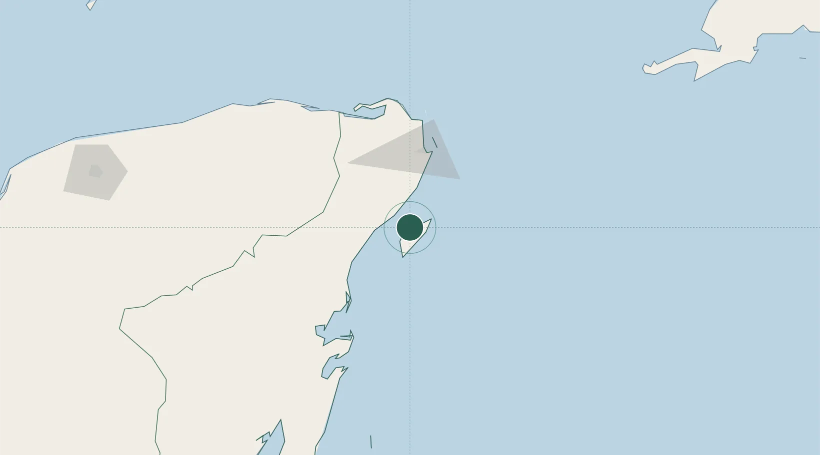
Location
Nearby Logistics Neighbours
Cities
- 1Playa del Carmen18 km
- 2Solidaridad19 km
- 3Punta Venado23 km
- 4Puerto Morelos37 km
- 5Tixkokob262 km
Ports
- 1Punta Venado22 km
- 2Puerto Costa Maya213 km
- 3Progreso297 km
- 4Belize City360 km
- 5Campeche385 km
Airports
Trade Zones
- 1Special Economic Zone of Chetumal266 km
- 2Corozol Free Zone273 km
- 3San Andres Export Processing Zone283 km
- 4Special Economic Zone of Progreso294 km
- 5Price Barracks361 km
DatabookThe Record of Consolidated Knowledge
Mexico beyond logistics?