Runway & Layout

Airport Specifications
IATA code
CUK
ICAO code
MZCK
Airport class
Medium airport
Scheduled service
Yes
Served city
Caye Caulker
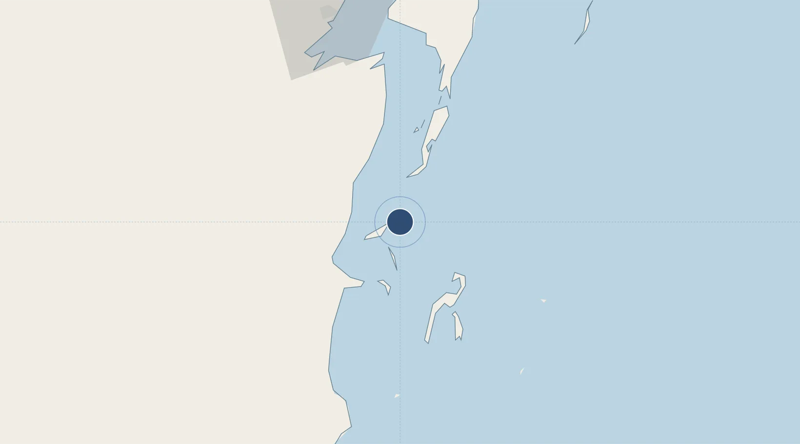
Location
Nearby Logistics Neighbours
Airports
Cities
- 1Belize City34 km
- 2Benque Viejo74 km
- 3Dangriga88 km
- 4Big Creek141 km
- 5Puerto Cortés213 km
Ports
- 1Belize City31 km
- 2Puerto Costa Maya117 km
- 3Big Creek141 km
- 4Puerto Cortes212 km
- 5Coxen Hole223 km
Trade Zones
DatabookThe Record of Consolidated Knowledge
Belize beyond logistics?