Channel & Berth Profile
Pilotage, Tugs & Services
Pilotage compulsoryYES
Pilotage availableYES
Tug assistanceNO
Salvage tugsNO
MedicalYES
Garbage disposalYES
Facilities & Capabilities
Container—
Ro-Ro—
Liquid bulk—
Dry bulk—
Oil terminal—
Break bulk—
Dry dock—
Repairs—
Bunkering—
Rail link—
Dangerous cargo—
ISPS securityYES
Harbour Specifications
Harbour size
Very Small
Harbour type
Open Roadstead
Shelter
Fair
Water body
Caribbean Sea; North Atlantic Ocean
Overhead limit
No
Pilotage
Yes
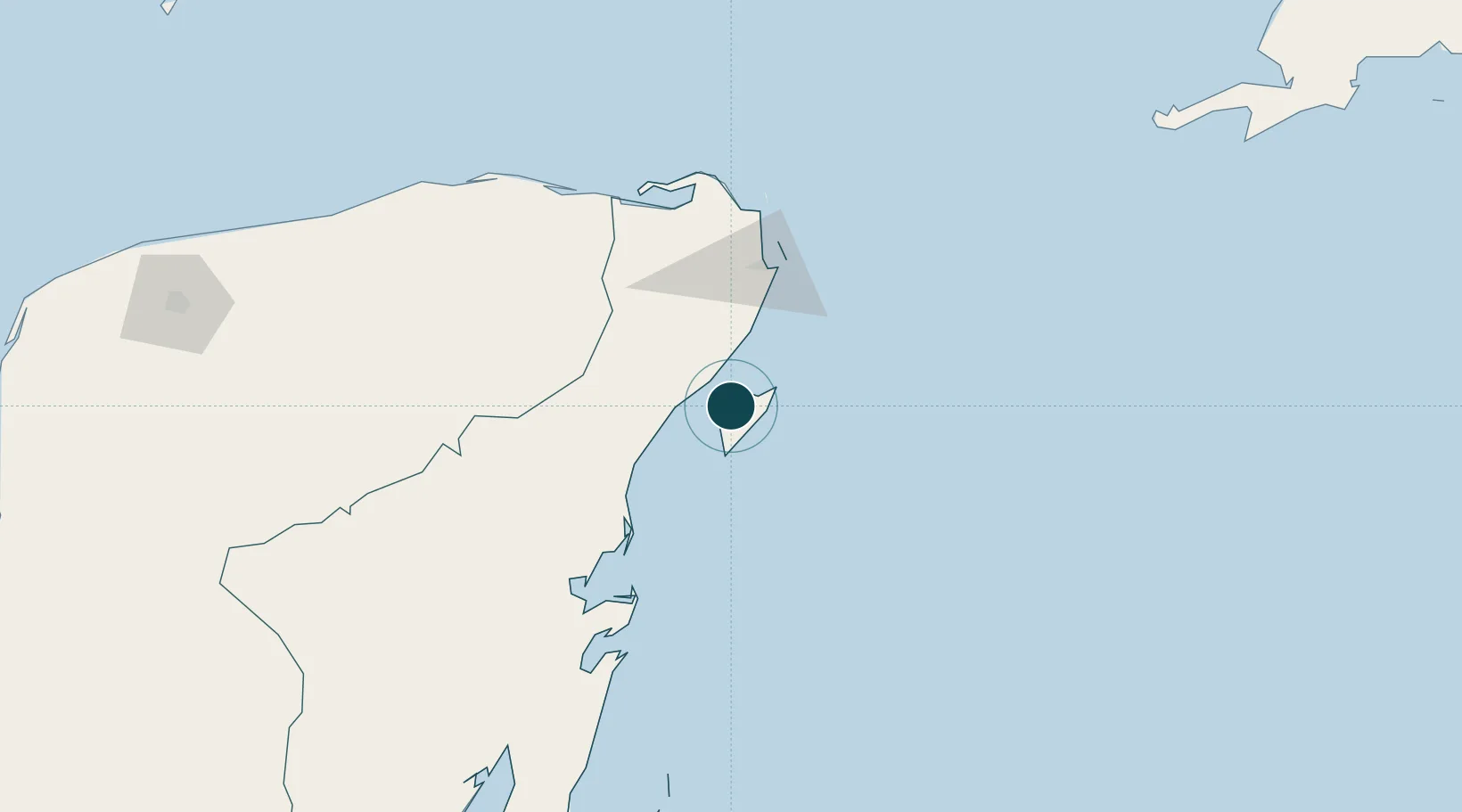
Location
Nearby Logistics Neighbours
Ports
- 1Punta Venado19 km
- 2Puerto Costa Maya210 km
- 3Progreso294 km
- 4Belize City357 km
- 5Campeche381 km
Cities
- 1Playa del Carmen17 km
- 2Solidaridad18 km
- 3Punta Venado19 km
- 4Puerto Morelos39 km
- 5Tixkokob259 km
Airports
Trade Zones
- 1Special Economic Zone of Chetumal263 km
- 2Corozol Free Zone270 km
- 3San Andres Export Processing Zone279 km
- 4Special Economic Zone of Progreso291 km
- 5Price Barracks358 km
DatabookThe Record of Consolidated Knowledge
Mexico beyond logistics?