Seaport · Belize
Belize CityBZBZE
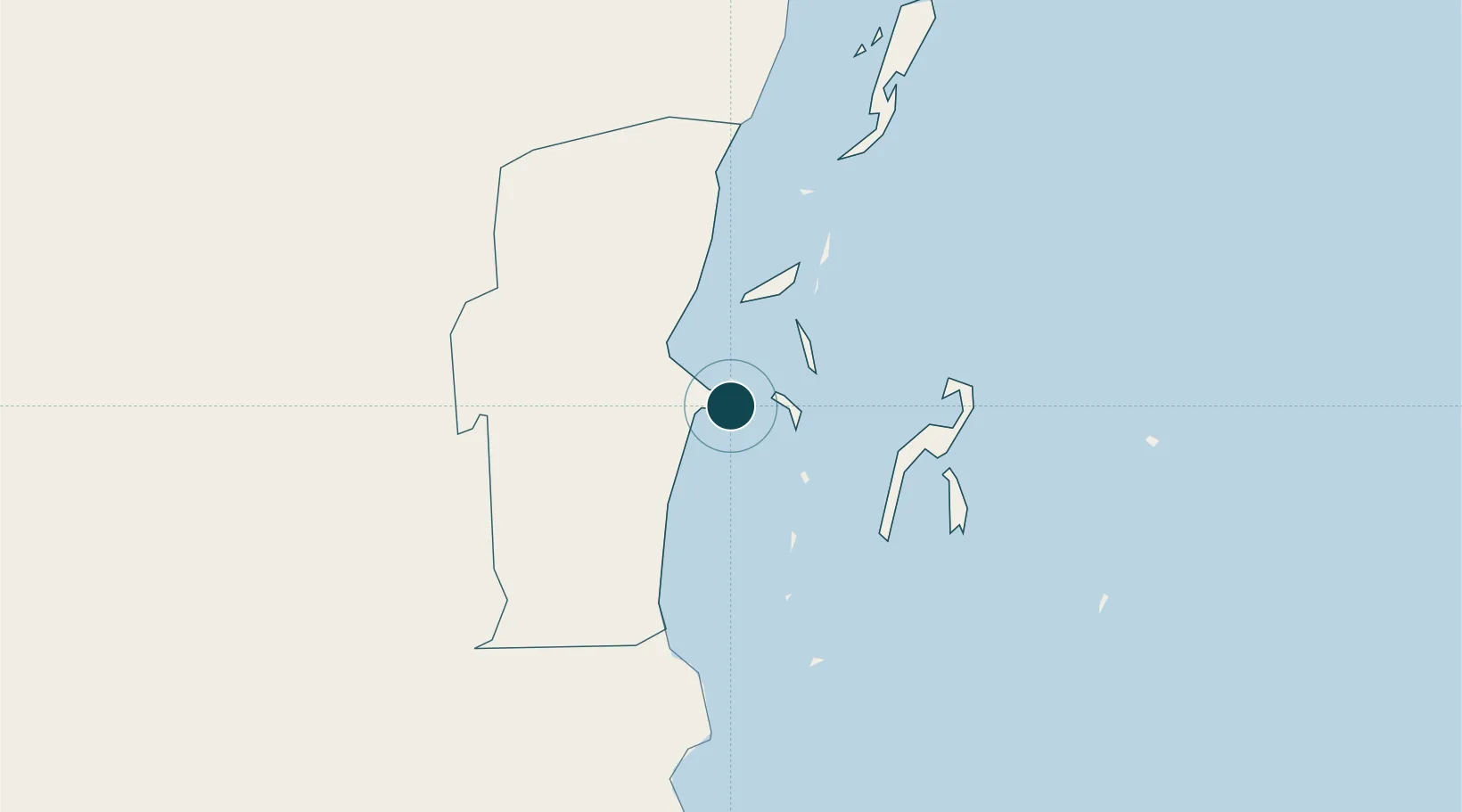
17.5000°, -88.1833°
18.2 m
Channel depth
1
Container terminals
26.3
Port liner connectivity
Channel & Berth Profile
Pilotage, Tugs & Services
Pilotage compulsoryYES
Pilotage availableYES
Pilotage advisableYES
Tug assistanceYES
Salvage tugsNO
Potable waterYES
Diesel bunkersYES
MedicalYES
Garbage disposalNO
Facilities & Capabilities
ContainerYES
Ro-RoYES
Liquid bulkYES
Dry bulkYES
Oil terminalYES
Break bulkYES
Dry dock—
RepairsNO
BunkeringYES
Rail link—
Dangerous cargo—
ISPS securityYES
Harbour Specifications
Harbour size
Small
Harbour type
Open Roadstead
Shelter
Good
Water body
Caribbean Sea; North Atlantic Ocean
Tidal range
0.8 m
Overhead limit
No
Pilotage
Yes
Liner Connectivity
26.3
PLSCI
Port Liner Shipping Connectivity Index for Belize City, as published by UNCTAD for the latest available quarter. Higher values indicate stronger scheduled liner-shipping integration.
Shown relative to the highest per-port PLSCI in the dataset (1,657.9).
Location
Container Terminals · 1
PORT OF BELIZE
POB PORT OF BELIZE LTD.
Nearby Logistics Neighbours
Ports
- 1Big Creek112 km
- 2Puerto Costa Maya147 km
- 3Puerto Cortes187 km
- 4Puerto Barrios201 km
- 5Santo Tomas De Castilla205 km
Cities
- 1Dangriga59 km
- 2Benque Viejo90 km
- 3Big Creek112 km
- 4Barranco184 km
- 5Puerto Cortés188 km
Airports
Trade Zones
DatabookThe Record of Consolidated Knowledge
Belize beyond logistics?