Transport Functions
Port
Hub Profile
Place type
Populated place
Region
Quintana Roo
Time zone
America/Cancun
Elevation
2 m
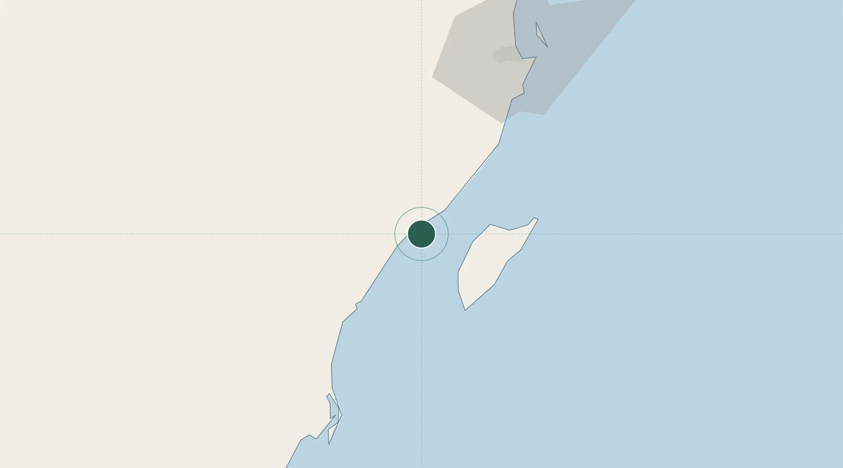
Location
Nearby Logistics Neighbours
Cities
- 1Solidaridad12 km
- 2Playa del Carmen13 km
- 3Cozumel23 km
- 4Puerto Morelos44 km
- 5Tixkokob240 km
Ports
- 1San Miguel De Cozumel19 km
- 2Puerto Costa Maya208 km
- 3Progreso274 km
- 4Belize City354 km
- 5Campeche363 km
Airports
Trade Zones
- 1Special Economic Zone of Chetumal256 km
- 2Corozol Free Zone263 km
- 3Special Economic Zone of Progreso272 km
- 4San Andres Export Processing Zone273 km
- 5Price Barracks354 km
DatabookThe Record of Consolidated Knowledge
Mexico beyond logistics?