Transport Functions
Multimodal
Hub Profile
Place type
Populated place
Region
Corozal District
Time zone
America/Belize
Elevation
2 m
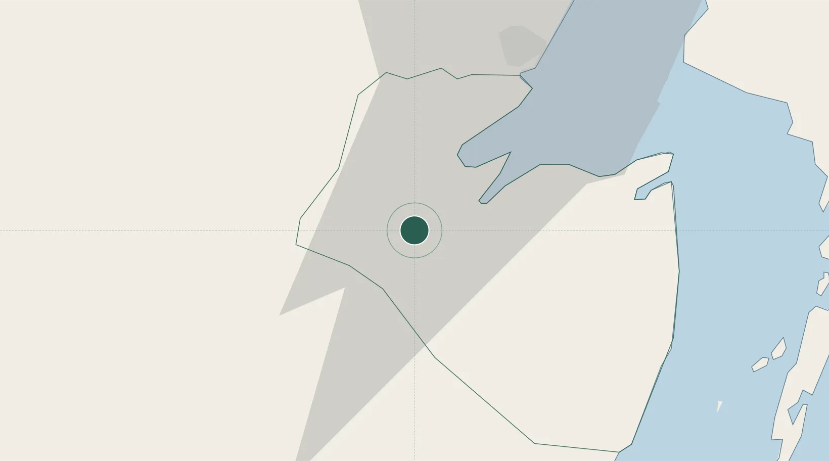
Location
Nearby Logistics Neighbours
Cities
- 1Belize City91 km
- 2Dangriga147 km
- 3Big Creek195 km
- 4Petén216 km
- 5La Libertad Peten242 km
Ports
- 1Belize City90 km
- 2Puerto Costa Maya96 km
- 3Big Creek195 km
- 4Puerto Cortes276 km
- 5Puerto Barrios282 km
Airports
Trade Zones
DatabookThe Record of Consolidated Knowledge
Belize beyond logistics?