Medium airport · Belize

Corozal AirportBZ-CZH
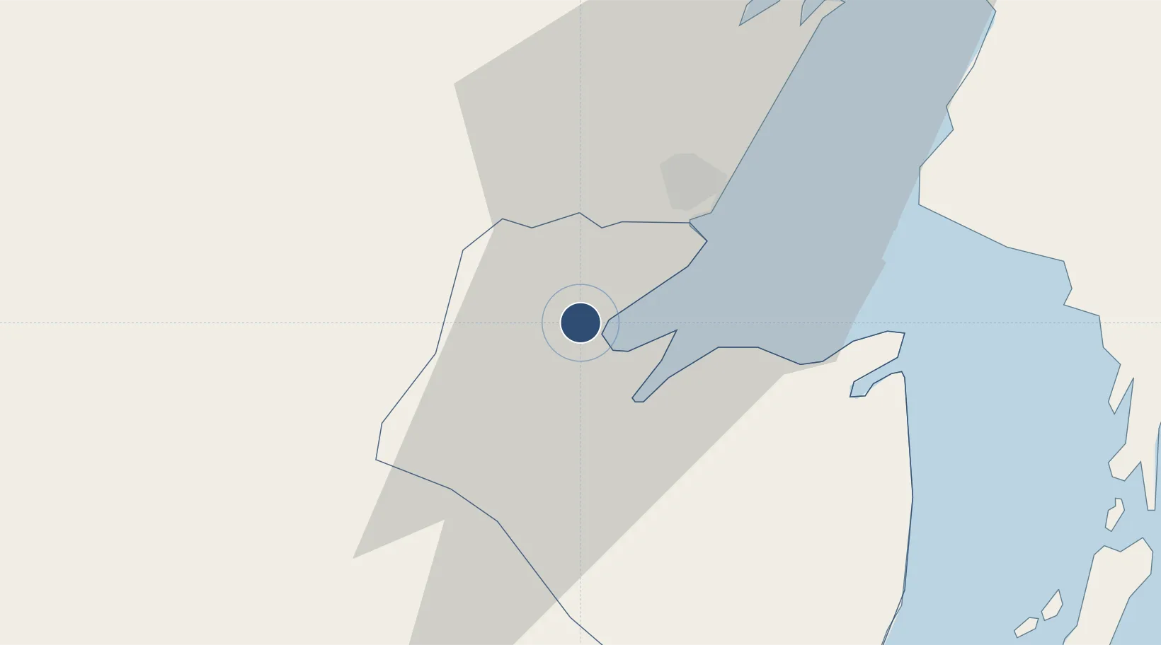
18.3822°, -88.4119°
2,198 ft
Longest runway
1
Runways
40 ft
Elevation

Runway & Layout

Corozal Airport runway & taxiway layout
Runway & taxiway layout — OpenStreetMap (ODbL) / OurAirports

Runways · 1

RunwayDimensions SurfaceTrue headingLit
07/25 2,198 × 48ft Asphalt
OurAirports

Airport Specifications

IATA code
CZH
OurAirports
ICAO code
MZCZ
OurAirports
Airport class
Medium airport
OurAirports
Scheduled service
Yes
OurAirports
Runway surface
Asphalt
OurAirports
Served city
Corozal
OurAirports

Location

Location of BZ-CZH
Natural Earth 10m (public domain) · Corozal · BZ-CZH · 18.38, -88.41GoogleOSMYandex

Nearby Logistics Neighbours

Airports
  1. 1Chetumal International Airport16 km
  2. 2Sartaneja Airport30 km
  3. 3H.E Alfredo Martinez (Tower Hill) Airstrip42 km
  4. 4John Greif II Airport70 km
  5. 5Caye Caulker Airport82 km
Nearest neighbours — logibook spatial index (haversine) over the source coordinates
Cities
  1. 1Benque Viejo14 km
  2. 2Belize City103 km
  3. 3Dangriga159 km
  4. 4Big Creek208 km
  5. 5Petén228 km
Nearest neighbours — logibook spatial index (haversine) over the source coordinates
Ports
  1. 1Puerto Costa Maya86 km
  2. 2Belize City101 km
  3. 3Big Creek207 km
  4. 4Punta Venado277 km
  5. 5Campeche278 km
Nearest neighbours — logibook spatial index (haversine) over the source coordinates
Trade Zones
  1. 1San Andres Export Processing Zone1 km
  2. 2Corozol Free Zone12 km
  3. 3Special Economic Zone of Chetumal18 km
  4. 4Price Barracks94 km
  5. 5Philip Goldson International Airport94 km
Nearest neighbours — logibook spatial index (haversine) over the source coordinates
DatabookThe Record of Consolidated Knowledge
Belize beyond logistics?
Browse databook

All Sources

AirportsOurAirports
Public domain
Portsthe NGA World Port Index
Public domain (US gov)
LocationsUN/LOCODE
UN/LOCODE — free
Trade Zonesthe World Bank SEZ database
CC BY 4.0
Trade ZonesOpen Zone Map
CC BY
InfrastructureOpenStreetMap
ODbL 1.0
← Belize airports