Export Processing Zone · Belize

Philip Goldson International Airport Active
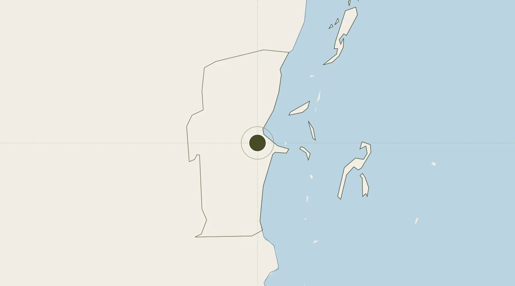
17.5402°, -88.3125°
1 ha
Zone area
14.4 km
Nearest port
0.9 km
Nearest airport

Gateway access

Nearest neighbours — logibook spatial index (haversine) over the source coordinates

Zone profile

Zone type
Export Processing Zone
Open Zone Map
Region
Belize
Open Zone Map
Status
Active
Open Zone Map
Management
Public
Open Zone Map
Operator
Belize Airport Concession Company
Open Zone Map
Legal framework
Commercial Free Zone Act
Open Zone Map

Location

Location of ozm-181
Natural Earth 10m (public domain) · Belize · ozm-181 · 17.54, -88.31GoogleOSMYandex

Nearby Logistics Neighbours

Ports
  1. 1Belize City14 km
  2. 2Big Creek114 km
  3. 3Puerto Costa Maya148 km
  4. 4Puerto Cortes194 km
  5. 5Puerto Barrios203 km
Nearest neighbours — logibook spatial index (haversine) over the source coordinates
Airports
  1. 1Philip S. W. Goldson International Airport1 km
  2. 2Sir Barry Bowen Municipal Airport13 km
  3. 3Caye Chapel Airport33 km
  4. 4Caye Caulker Airport37 km
  5. 5John Greif II Airport55 km
Nearest neighbours — logibook spatial index (haversine) over the source coordinates
Cities
  1. 1Belize City13 km
  2. 2Dangriga65 km
  3. 3Benque Viejo82 km
  4. 4Big Creek114 km
  5. 5Barranco183 km
Nearest neighbours — logibook spatial index (haversine) over the source coordinates
Trade Zones
  1. 1Price Barracks1 km
  2. 2San Andres Export Processing Zone94 km
  3. 3Corozol Free Zone105 km
  4. 4Special Economic Zone of Chetumal107 km
  5. 5Santo Tomas de Castillo Free Zone208 km
Nearest neighbours — logibook spatial index (haversine) over the source coordinates
DatabookThe Record of Consolidated Knowledge
Belize beyond logistics?
Browse databook

All Sources

Trade ZonesOpen Zone Map
CC BY
Portsthe NGA World Port Index
Public domain (US gov)
AirportsOurAirports
Public domain
LocationsUN/LOCODE
UN/LOCODE — free
← Belize trade zones