UN/LOCODE hub · Belize
BZBZE
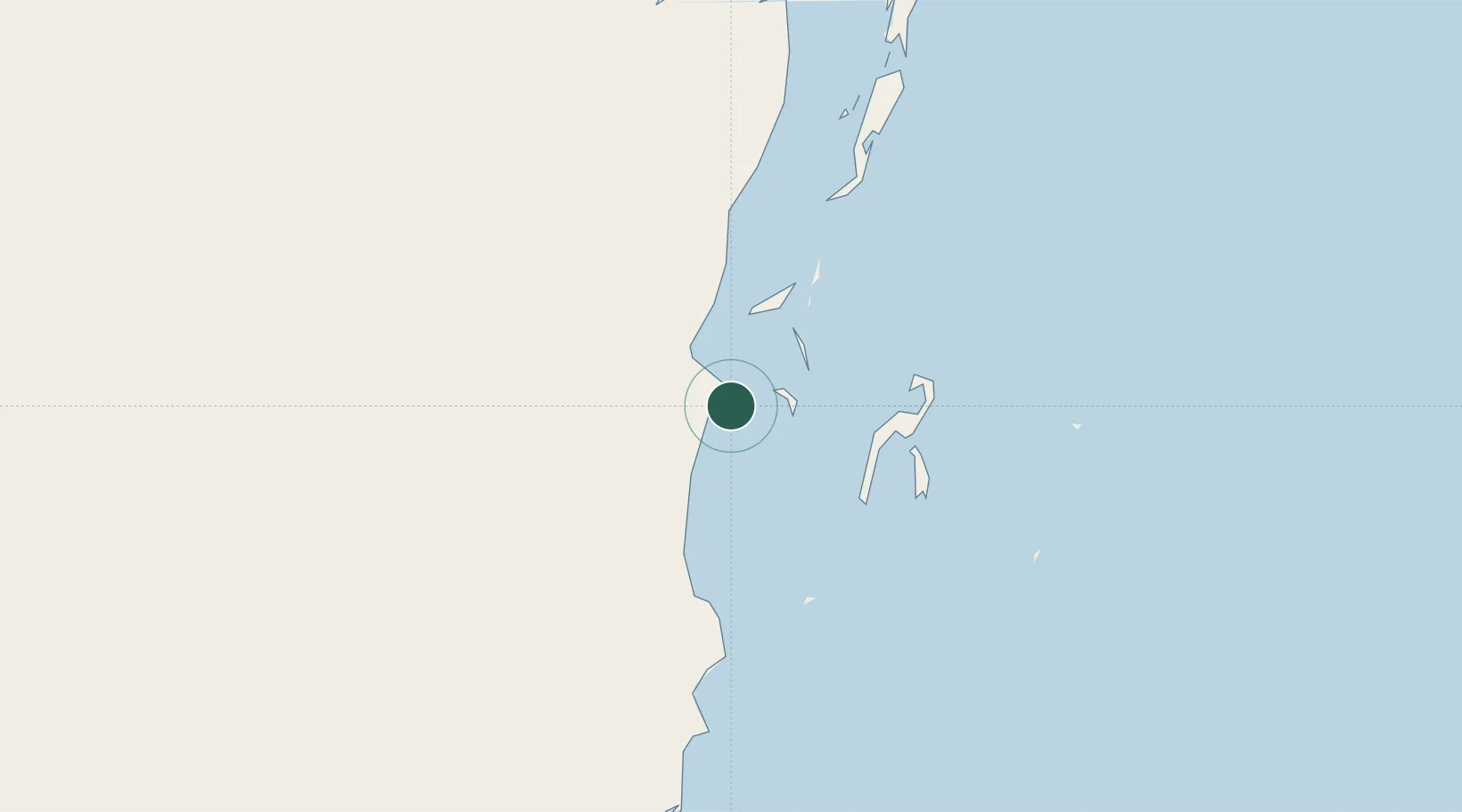
Belize City
17.4811°, -88.2039°
65,222
Population
3
Transport functions
1
Container terminals
Transport Functions
Port
Airport
Postal
Hub Profile
Place type
Regional capital
Region
Belize District
Population
65,222
Time zone
America/Belize
Elevation
6 m
Logistics facilities
1
Container terminals
1
Location
Nearby Logistics Neighbours
Cities
- 1Dangriga57 km
- 2Benque Viejo91 km
- 3Big Creek110 km
- 4Barranco181 km
- 5Puerto Cortés187 km
Ports
- 1Big Creek109 km
- 2Puerto Costa Maya150 km
- 3Puerto Cortes185 km
- 4Puerto Barrios199 km
- 5Santo Tomas De Castilla203 km
Airports
Trade Zones
DatabookThe Record of Consolidated Knowledge
Belize beyond logistics?