Medium airport · Belize

Sartaneja AirportBZ-SJX
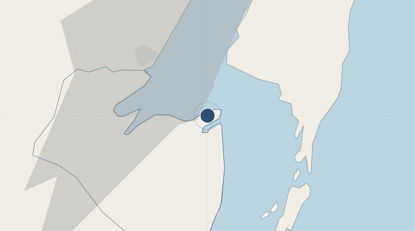
18.3561°, -88.1308°
2,510 ft
Longest runway
1
Runways
3 ft
Elevation

Runway & Layout

Sartaneja Airport runway & taxiway layout
Runway & taxiway layout — OpenStreetMap (ODbL) / OurAirports

Runways · 1

RunwayDimensions SurfaceTrue headingLit
10/28 2,510 × 48ft
OurAirports

Airport Specifications

IATA code
SJX
OurAirports
ICAO code
MZSJ
OurAirports
Airport class
Medium airport
OurAirports
Scheduled service
No
OurAirports
Served city
Sartaneja
OurAirports

Location

Location of BZ-SJX
Natural Earth 10m (public domain) · Corozal · BZ-SJX · 18.36, -88.13GoogleOSMYandex

Nearby Logistics Neighbours

Airports
  1. 1Chetumal International Airport27 km
  2. 2Corozal Airport30 km
  3. 3John Greif II Airport52 km
  4. 4H.E Alfredo Martinez (Tower Hill) Airstrip59 km
  5. 5Caye Caulker Airport70 km
Nearest neighbours — logibook spatial index (haversine) over the source coordinates
Cities
  1. 1Benque Viejo35 km
  2. 2Belize City98 km
  3. 3Dangriga155 km
  4. 4Big Creek207 km
  5. 5Petén248 km
Nearest neighbours — logibook spatial index (haversine) over the source coordinates
Ports
  1. 1Puerto Costa Maya63 km
  2. 2Belize City95 km
  3. 3Big Creek207 km
  4. 4Punta Venado267 km
  5. 5San Miguel De Cozumel268 km
Nearest neighbours — logibook spatial index (haversine) over the source coordinates
Trade Zones
  1. 1Special Economic Zone of Chetumal25 km
  2. 2San Andres Export Processing Zone29 km
  3. 3Corozol Free Zone31 km
  4. 4Price Barracks92 km
  5. 5Philip Goldson International Airport93 km
Nearest neighbours — logibook spatial index (haversine) over the source coordinates
DatabookThe Record of Consolidated Knowledge
Belize beyond logistics?
Browse databook

All Sources

AirportsOurAirports
Public domain
Portsthe NGA World Port Index
Public domain (US gov)
LocationsUN/LOCODE
UN/LOCODE — free
Trade Zonesthe World Bank SEZ database
CC BY 4.0
Trade ZonesOpen Zone Map
CC BY
InfrastructureOpenStreetMap
ODbL 1.0
← Belize airports