Medium airport · Myanmar (Burma)
Thandwe AirportVYTD
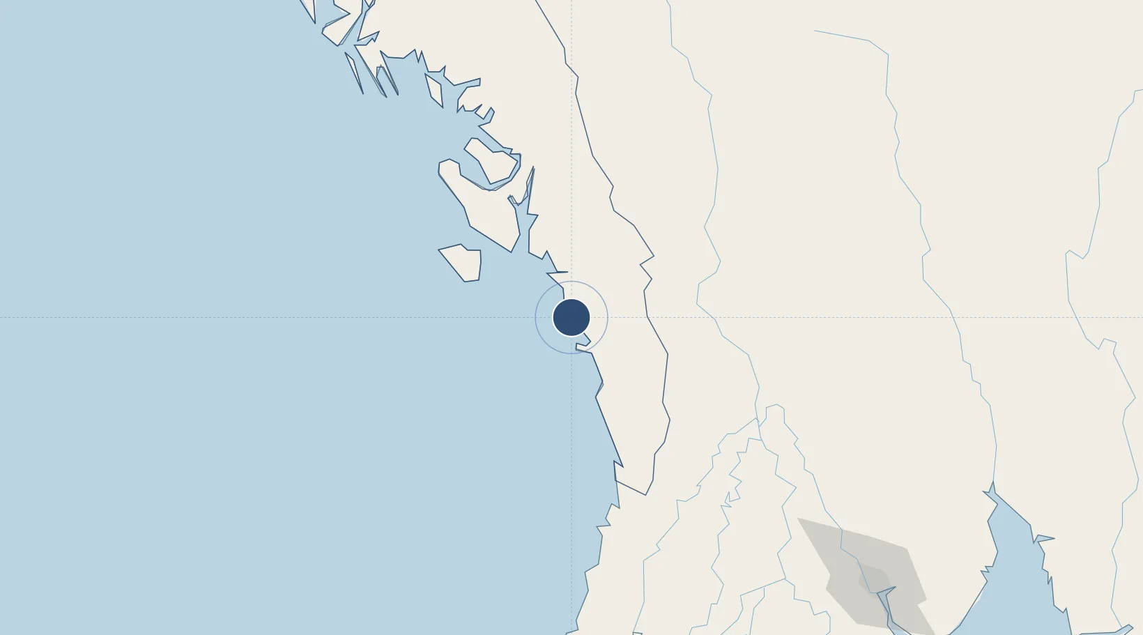
18.4607°, 94.3001°
5,502 ft
Longest runway
1
Runways
20 ft
Elevation
Runway & Layout

Radio Frequencies
TWR
118.7 MHz
Navaids
AN NDB Ann 385 kHz
TD NDB Thandwe 270 kHz
Runways · 1
| Runway | Dimensions | Surface | True heading | Lit |
|---|---|---|---|---|
| 02/20 | 5,502 × 102ft | Bitumen | 020° | — |
Airport Specifications
IATA code
SNW
ICAO code
VYTD
Airport class
Medium airport
Scheduled service
Yes
Runway surface
Bitumen
Served city
Thandwe
Location
Nearby Logistics Neighbours
Airports
- 1Kyaukpyu Airport134 km
- 2Pathein Airport190 km
- 3Magway Airport201 km
- 4Nay Pyi Taw International Airport238 km
- 5Sittwe Airport239 km
Cities
- 1Kyaiklat263 km
- 2Yangon270 km
- 3Pazundaung272 km
- 4Thilawa289 km
- 5Mese355 km
Ports
- 1Bassein192 km
- 2Sittwe237 km
- 3Rangoon273 km
- 4Chittagong501 km
- 5Mongla662 km
Trade Zones
DatabookThe Record of Consolidated Knowledge
Myanmar (Burma) beyond logistics?