Transport Functions
Port
Hub Profile
Place type
Regional capital
Region
Az Zāwiyah
Population
200,000
Time zone
Africa/Tripoli
Elevation
18 m
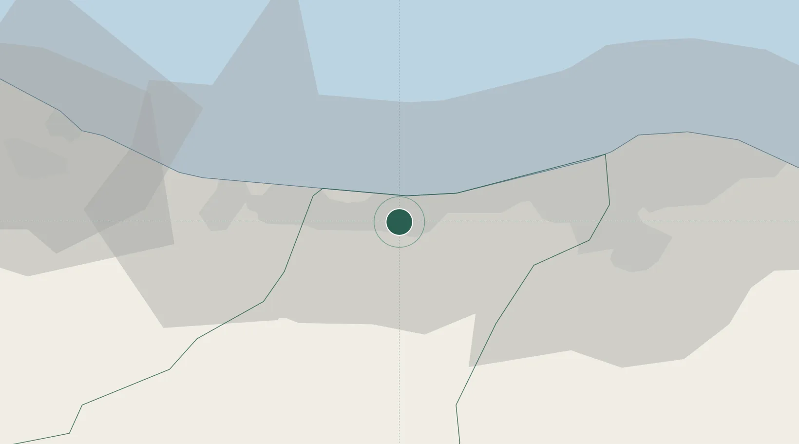
Location
Nearby Logistics Neighbours
Ports
- 1Mina Tarabulus (Tripoli)47 km
- 2Abu Khammash91 km
- 3Bouri Oil Field128 km
- 4Didon Terminal138 km
- 5Khoms144 km
Airports
- 1Mitiga International Airport56 km
- 2Okba Ibn Nafa Air Base83 km
- 3Djerba Zarzis International Airport219 km
- 4Remada Air Base224 km
- 5Misrata International Airport225 km
Trade Zones
DatabookThe Record of Consolidated Knowledge
Libya beyond logistics?