UN/LOCODE hub · Libya
LYTIP
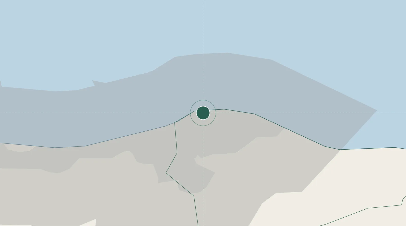
Tripoli
32.9072°, 13.1917°
1,302,947
Population
2
Transport functions
1
Container terminals
Transport Functions
Port
Airport
Hub Profile
Place type
National capital
Region
Tripoli
Population
1,302,947
Time zone
Africa/Tripoli
Elevation
15 m
Logistics facilities
1
Container terminals
1
Location
Nearby Logistics Neighbours
Cities
- 1Az Zawiyah48 km
- 2Al Khums102 km
- 3El Choms105 km
- 4Didon153 km
- 5Misurata199 km
Ports
- 1Az Zawiya46 km
- 2Khoms103 km
- 3Bouri Oil Field121 km
- 4Abu Khammash130 km
- 5Didon Terminal155 km
Airports
- 1Mitiga International Airport9 km
- 2Okba Ibn Nafa Air Base130 km
- 3Misrata International Airport187 km
- 4Djerba Zarzis International Airport249 km
- 5Remada Air Base272 km
Trade Zones
- 1Zwara-Abu-Kemmash Free Trade Zone108 km
- 2Taminhent Free Zone129 km
- 3Ben Guerdane Economic Free Zone155 km
- 4Misurata Free Zone200 km
- 5Zarzis Park of Economic Activities204 km
DatabookThe Record of Consolidated Knowledge
Libya beyond logistics?