Transport Functions
Multimodal
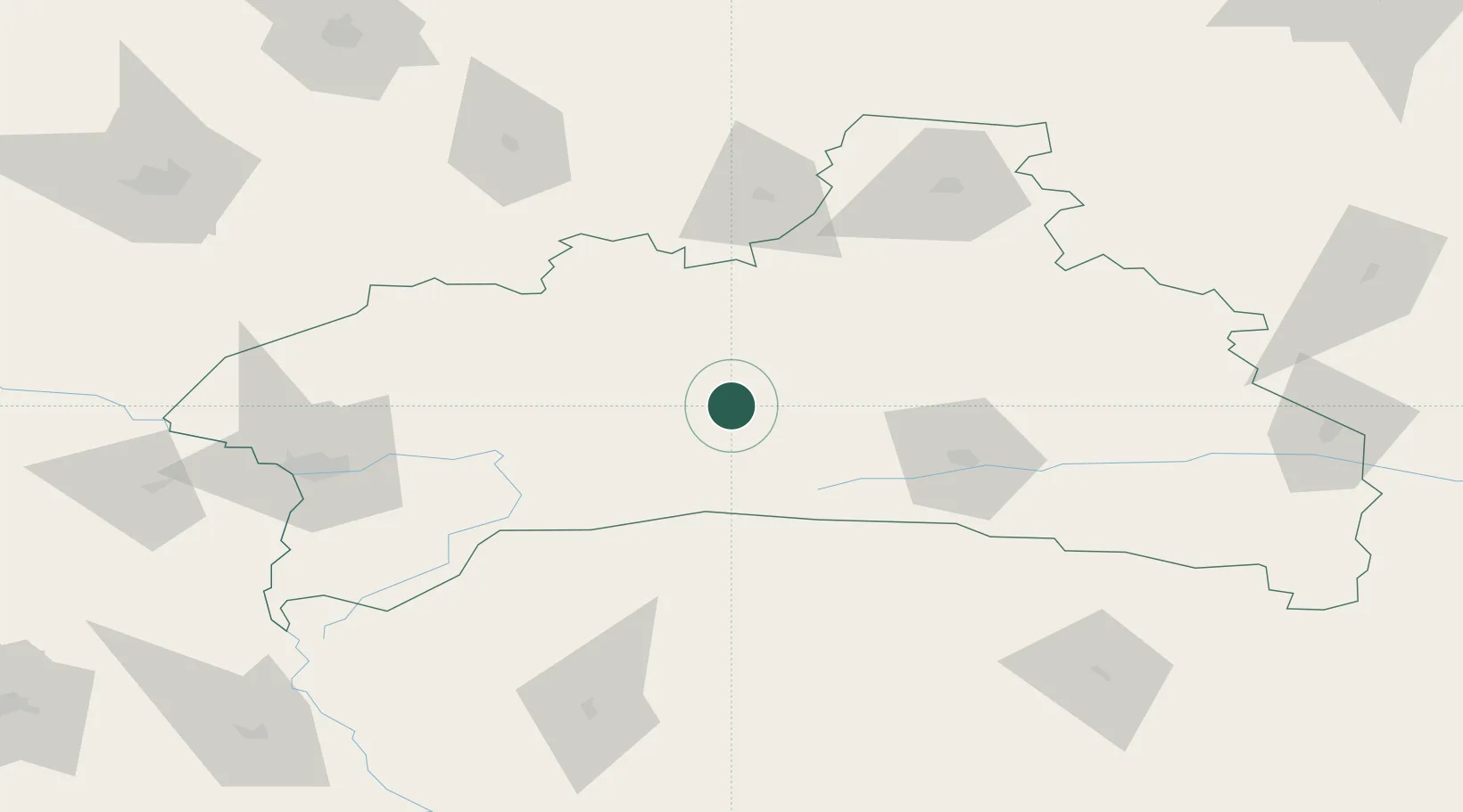
Location
Nearby Logistics Neighbours
Ports
- 1Kaliningrad410 km
- 2Baltiysk436 km
- 3Klaipeda462 km
- 4Gdansk490 km
- 5Nowy Port493 km
Airports
- 1Osovtsy Air Base34 km
- 2Brest International Airport94 km
- 3Baranavichi Air Base102 km
- 4Hrodna Airport162 km
- 5Rivne International Airport202 km
Trade Zones
DatabookThe Record of Consolidated Knowledge
Libya beyond logistics?