Transport Functions
Rail
Road
Hub Profile
Place type
Regional capital
Region
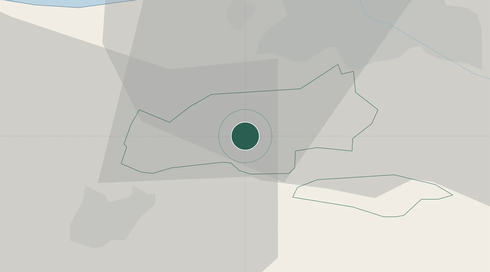
Olaine
Population
9,654
Time zone
Europe/Riga
Elevation
7 m
Location
Nearby Logistics Neighbours
Ports
- 1Riga21 km
- 2Salacgriva105 km
- 3Ventspils160 km
- 4Roomassaare181 km
- 5Liepaja181 km
Airports
- 1Riga International Airport15 km
- 2Jūrmala Airport47 km
- 3Barysiai Airfield83 km
- 4Šiauliai International Airport104 km
- 5Ruhnu Airfield119 km
Trade Zones
- 1Free Port of Riga22 km
- 2Akmenė Free Economic Zone95 km
- 3ō iauliai Free Economic Zone104 km
- 4Panevėžys Free Economic Zone150 km
- 5Free port of Ventspils161 km
DatabookThe Record of Consolidated Knowledge
Latvia beyond logistics?