UN/LOCODE hub · St. Vincent & Grenadines
VCCRP
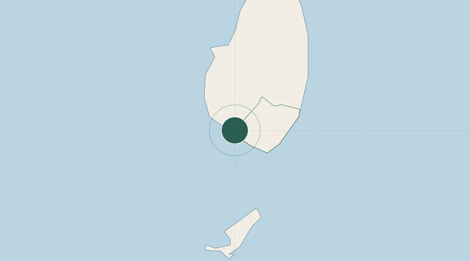
Campden Park
13.1667°, -61.2333°
2
Transport functions
Transport Functions
Port
Road
Hub Profile
Place type
Populated place
Region
Saint Andrew Parish
Time zone
America/St_Vincent
Elevation
55 m
Location
Nearby Logistics Neighbours
Cities
- 1Kingstown4 km
- 2Georgetown17 km
- 3Port Elizabeth, Bequia19 km
- 4Canouan Island51 km
- 5Vieux Fort69 km
Ports
- 1Kingstown2 km
- 2Vieux Fort68 km
- 3Grand Cul De Sac Bay94 km
- 4Castries98 km
- 5St George's136 km
Airports
- 1Argyle International Airport9 km
- 2J F Mitchell Airport20 km
- 3Mustique Airport32 km
- 4Canouan Airport53 km
- 5Union Island International Airport66 km
DatabookThe Record of Consolidated Knowledge
St. Vincent & Grenadines beyond logistics?