UN/LOCODE hub · South Korea
KRTAN

Taean-gun

36.7167°, 126.2667°
2
Transport functions

Transport Functions

Port
Road
UN/LOCODE

Hub Profile

Region
44
GeoNames

Location

Location of KRTAN
Natural Earth 10m (public domain) · 44 · KRTAN · 36.72, 126.27GoogleOSMYandex

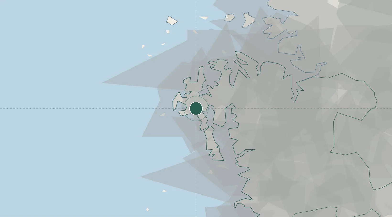
Nearby Logistics Neighbours

Cities
  1. 1Naepo17 km
  2. 2Seosan18 km
  3. 3Daesan/Seosan36 km
  4. 4Hongseong-gun37 km
  5. 5Seocheon-gun38 km
Nearest neighbours — logibook spatial index (haversine) over the source coordinates
Ports
  1. 1Daesan Hang35 km
  2. 2Pyeongtaek Hang57 km
  3. 3Kunsan87 km
  4. 4Inchon89 km
  5. 5Haeju Hang151 km
Nearest neighbours — logibook spatial index (haversine) over the source coordinates
Airports
  1. 1Camp Humphreys (A-511) Desiderio Army Airfield73 km
  2. 2Osan Air Base80 km
  3. 3Incheon International Airport85 km
  4. 4Suwon Airport88 km
  5. 5Gunsan Airport / Gunsan Air Base96 km
Nearest neighbours — logibook spatial index (haversine) over the source coordinates
Trade Zones
  1. 1Taean Enterprise City5 km
  2. 2Seosan 1 General Industrial Complex22 km
  3. 3Daejuk General Industrial Complex34 km
  4. 4Seokmun National Industrial Complex42 km
  5. 5Gojeong National Industrial Complex47 km
Nearest neighbours — logibook spatial index (haversine) over the source coordinates
DatabookThe Record of Consolidated Knowledge
South Korea beyond logistics?
Browse databook

All Sources

LocationsUN/LOCODE
UN/LOCODE — free
Portsthe NGA World Port Index
Public domain (US gov)
AirportsOurAirports
Public domain
Trade Zonesthe World Bank SEZ database
CC BY 4.0
Trade ZonesOpen Zone Map
CC BY
← South Korea locations