UN/LOCODE hub · South Korea
KRTSN
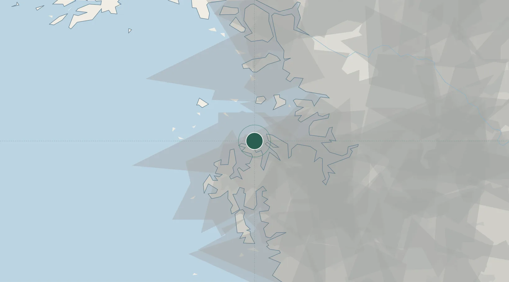
Daesan/Seosan
37.0139°, 126.4300°
1
Transport functions
1
Container terminals
Transport Functions
Port
Hub Profile
Region
44
Logistics facilities
1
Container terminals
1
Location
Nearby Logistics Neighbours
Cities
- 1Naepo22 km
- 2Seosan26 km
- 3Dangjin32 km
- 4Seocheon-gun33 km
- 5Taean-gun36 km
Ports
- 1Pyeongtaek Hang33 km
- 2Inchon53 km
- 3Kunsan116 km
- 4Haeju Hang127 km
- 5Kyomip'o204 km
Airports
DatabookThe Record of Consolidated Knowledge
South Korea beyond logistics?