Transport Functions
Rail
Road
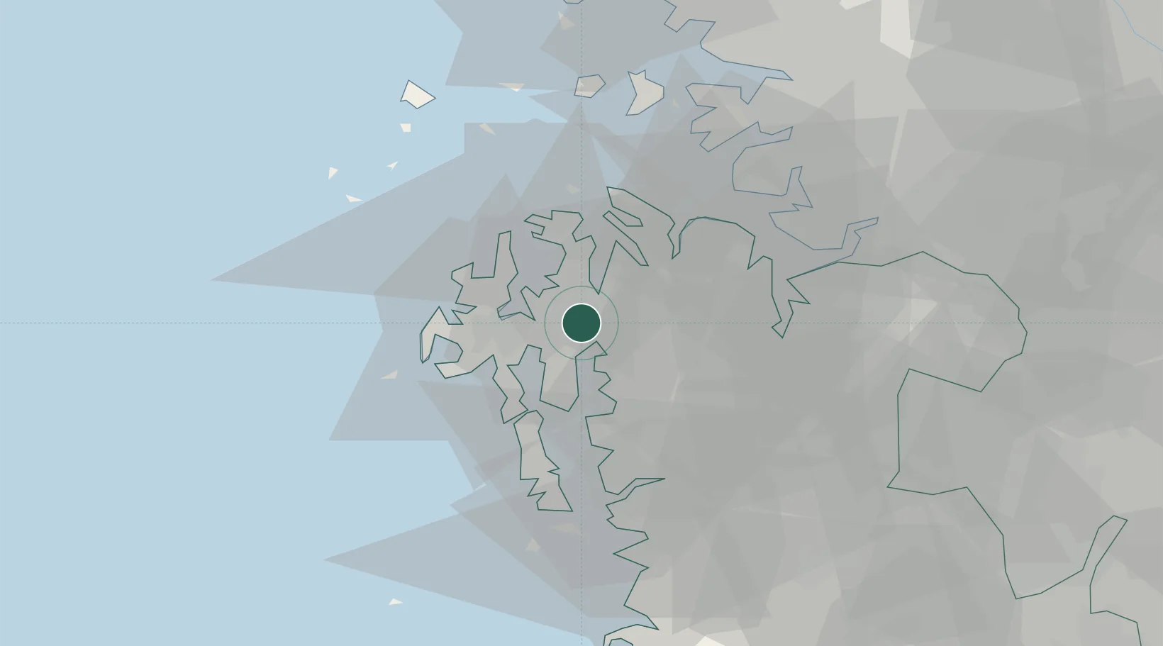
Hub Profile
Place type
Populated place
Region
Chungcheongnam-do
Population
74,208
Time zone
Asia/Seoul
Elevation
33 m
Location
Nearby Logistics Neighbours
Cities
- 1Taean-gun18 km
- 2Naepo19 km
- 3Seocheon-gun21 km
- 4Daesan/Seosan26 km
- 5Hongseong-gun27 km
Ports
- 1Daesan Hang26 km
- 2Pyeongtaek Hang39 km
- 3Inchon77 km
- 4Kunsan90 km
- 5Haeju Hang151 km
Airports
Trade Zones
DatabookThe Record of Consolidated Knowledge
South Korea beyond logistics?