Seaport · Japan
TakamatsuJPTAK
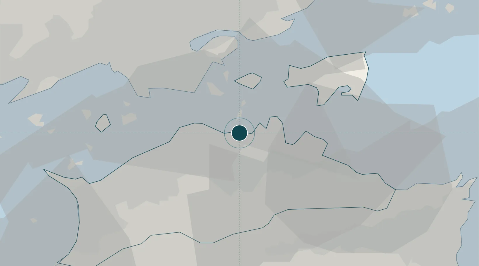
34.3500°, 134.0500°
9.4 m
Channel depth
1
Container terminals
53.5
Port liner connectivity
Channel & Berth Profile
Pilotage, Tugs & Services
Pilotage compulsoryNO
Pilotage availableYES
Tug assistanceYES
Salvage tugsNO
Shore powerYES
Potable waterYES
MedicalYES
Garbage disposalYES
Facilities & Capabilities
Container—
Ro-Ro—
Liquid bulk—
Dry bulk—
Oil terminal—
Break bulk—
Dry dockNO
RepairsNO
BunkeringYES
Rail linkYES
Dangerous cargo—
ISPS security—
Harbour Specifications
Harbour size
Very Small
Harbour type
Coastal (Breakwater)
Shelter
Fair
Water body
Sea of Japan; North Pacific Ocean
Tidal range
2 m
Pilotage
No
Liner Connectivity
53.5
PLSCI
Port Liner Shipping Connectivity Index for Takamatsu, as published by UNCTAD for the latest available quarter. Higher values indicate stronger scheduled liner-shipping integration.
Shown relative to the highest per-port PLSCI in the dataset (1,657.9).
Location
Container Terminals · 1
TAKAMATSU CONTAINER TERMINAL
TCT TAKAMATSU PORT AUTHORITY
Nearby Logistics Neighbours
Ports
- 1Hibi Ko15 km
- 2Uno Ko17 km
- 3Sakaide Ko19 km
- 4Marugame Ko25 km
- 5Mizushima Ko32 km
Cities
- 1Sanuki11 km
- 2Ayagawa14 km
- 3Setouchi36 km
- 4Mizushima38 km
- 5Mitoyo, Kagawa39 km
Airports
Trade Zones
- 1Takamatsu Compact Eco-City Special Zone3 km
- 2Kagawa Medical Welfare General Special Zone25 km
- 3Hyper & Green Innovation Mizushima Complex General Special Zone36 km
- 4Okayama-type Sustainable Socio-Economic Model Construction Comprehensive Special Zone36 km
- 5Tokushima life innovation Comprehensive Special Zone51 km
DatabookThe Record of Consolidated Knowledge
Japan beyond logistics?