Transport Functions
Multimodal
Hub Profile
Place type
Provincial seat
Region
Okayama
Population
36,048
Time zone
Asia/Tokyo
Elevation
8 m
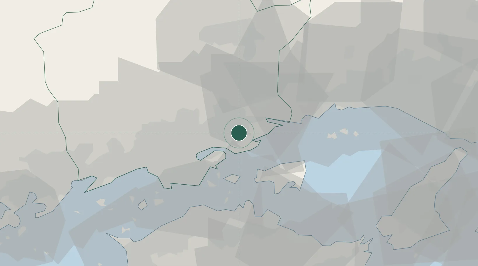
Location
Nearby Logistics Neighbours
Cities
- 1Bizen11 km
- 2Wake20 km
- 3Mitsu Kanagawa21 km
- 4Soja, Okayama32 km
- 5Ayagawa33 km
Ports
- 1Uno Ko25 km
- 2Hibi Ko29 km
- 3Takamatsu36 km
- 4Aioi36 km
- 5Mizushima Ko37 km
Airports
Trade Zones
- 1Okayama-type Sustainable Socio-Economic Model Construction Comprehensive Special Zone17 km
- 2Takamatsu Compact Eco-City Special Zone36 km
- 3Hyper & Green Innovation Mizushima Complex General Special Zone39 km
- 4Kagawa Medical Welfare General Special Zone50 km
- 5Hiroshima Environmental Tourism Model Urban Development Promotion Special Zone76 km
DatabookThe Record of Consolidated Knowledge
Japan beyond logistics?