Transport Functions
Multimodal
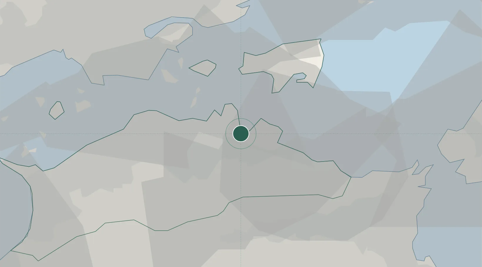
Hub Profile
Place type
Provincial seat
Region
Kagawa
Time zone
Asia/Tokyo
Elevation
35 m
Location
Nearby Logistics Neighbours
Cities
- 1Takamatsu11 km
- 2Ayagawa26 km
- 3Kamiita, Tokushima31 km
- 4Yoshinogawa Tokushima34 km
- 5Setouchi39 km
Ports
- 1Takamatsu11 km
- 2Hibi Ko26 km
- 3Uno Ko27 km
- 4Sakaide Ko29 km
- 5Marugame Ko35 km
Airports
Trade Zones
- 1Takamatsu Compact Eco-City Special Zone9 km
- 2Kagawa Medical Welfare General Special Zone36 km
- 3Tokushima life innovation Comprehensive Special Zone41 km
- 4Okayama-type Sustainable Socio-Economic Model Construction Comprehensive Special Zone44 km
- 5Hyper & Green Innovation Mizushima Complex General Special Zone47 km
DatabookThe Record of Consolidated Knowledge
Japan beyond logistics?