Seaport · Japan
Mizushima KoJPMIZ
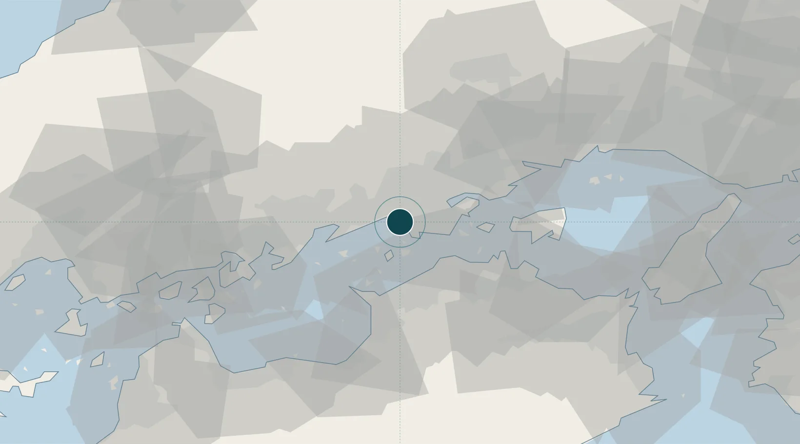
34.5000°, 133.7500°
14.0 m
Channel depth
2
Container terminals
89.5
Port liner connectivity
Channel & Berth Profile
Pilotage, Tugs & Services
Pilotage compulsoryYES
Pilotage availableYES
Tug assistanceYES
Salvage tugsNO
Shore powerNO
Potable waterYES
MedicalYES
Facilities & Capabilities
Container—
Ro-Ro—
Liquid bulk—
Dry bulk—
Oil terminal—
Break bulk—
Dry dockNO
RepairsNO
BunkeringYES
Rail linkYES
Dangerous cargo—
ISPS security—
Harbour Specifications
Harbour size
Medium
Harbour type
Coastal (Natural)
Shelter
Good
Water body
Sea of Japan; North Pacific Ocean
Tidal range
3 m
Overhead limit
Yes
Pilotage
Yes
Liner Connectivity
89.5
PLSCI
Port Liner Shipping Connectivity Index for Mizushima Ko, as published by UNCTAD for the latest available quarter. Higher values indicate stronger scheduled liner-shipping integration.
Shown relative to the highest per-port PLSCI in the dataset (1,657.9).
Location
Container Terminals · 2
MIZUSHIMA PORT INTERNATIONAL CONTAINER TERMINAL
MICT MIZUSHIMA PORT INTERNATIONAL LOGISTICS CENTER CO., LTD.
TAMASHIMA FOREIGN TRADE WHARF NO. 1 BERTH
TE01C MIZUSHIMA PORT AUTHORITY
Nearby Logistics Neighbours
Ports
- 1Hibi Ko18 km
- 2Uno Ko18 km
- 3Sakaide Ko21 km
- 4Marugame Ko22 km
- 5Fukuyama30 km
Cities
- 1Tamashima7 km
- 2Asakuchi15 km
- 3Ayagawa18 km
- 4Soja, Okayama19 km
- 5Fukuyama, Hiroshima30 km
Airports
Trade Zones
- 1Hyper & Green Innovation Mizushima Complex General Special Zone4 km
- 2Kagawa Medical Welfare General Special Zone23 km
- 3Okayama-type Sustainable Socio-Economic Model Construction Comprehensive Special Zone23 km
- 4Takamatsu Compact Eco-City Special Zone35 km
- 5Hiroshima Environmental Tourism Model Urban Development Promotion Special Zone41 km
DatabookThe Record of Consolidated Knowledge
Japan beyond logistics?