UN/LOCODE hub · Japan
JPTAK
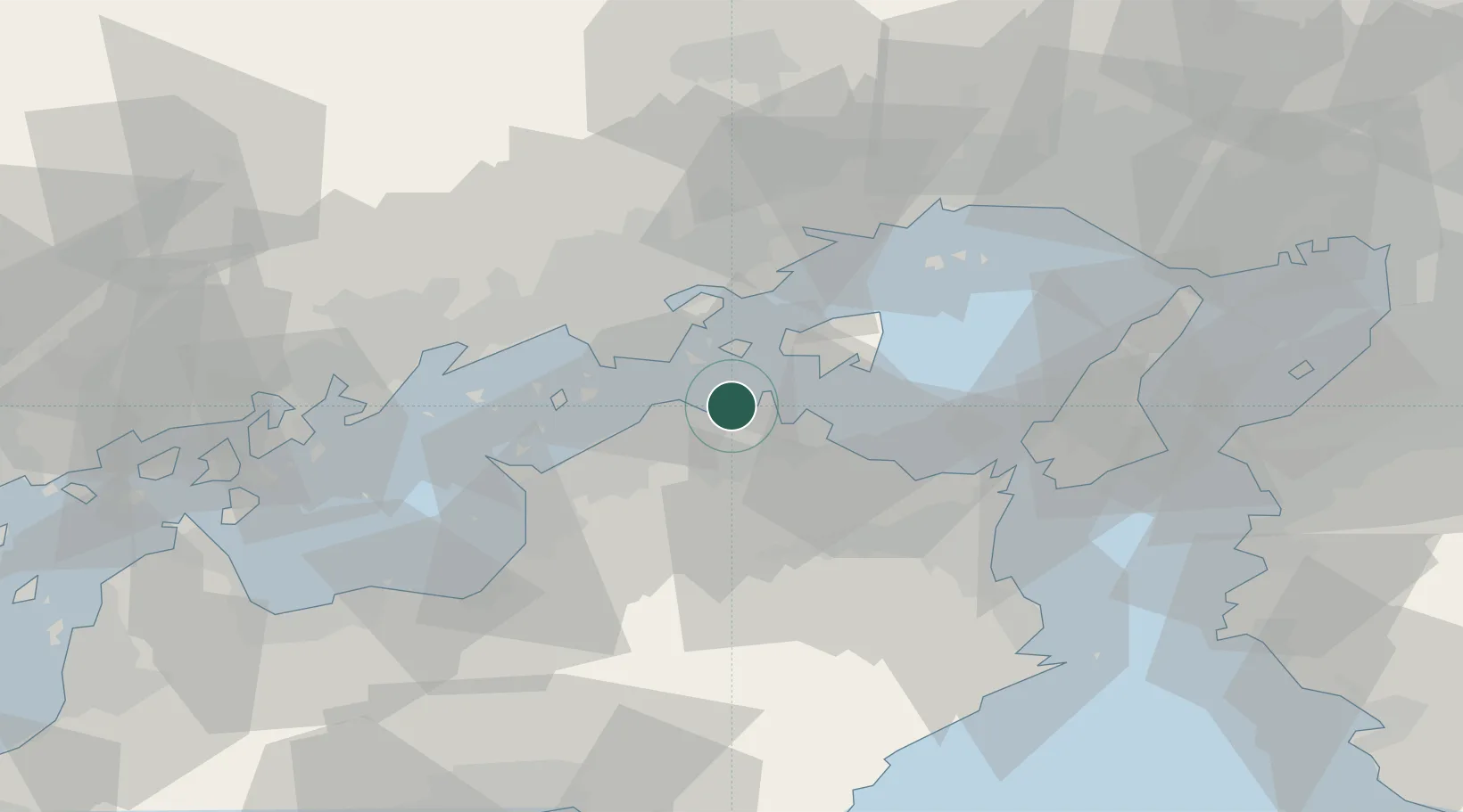
Takamatsu
34.3608°, 134.0634°
418,994
Population
2
Transport functions
1
Container terminals
Transport Functions
Port
Airport
Hub Profile
Place type
Regional capital
Region
Kagawa
Population
418,994
Time zone
Asia/Tokyo
Elevation
17 m
Logistics facilities
3
Container terminals
1
Location
Nearby Logistics Neighbours
Ports
- 1Hibi Ko16 km
- 2Uno Ko17 km
- 3Sakaide Ko20 km
- 4Marugame Ko27 km
- 5Mizushima Ko33 km
Airports
Trade Zones
- 1Takamatsu Compact Eco-City Special Zone2 km
- 2Kagawa Medical Welfare General Special Zone27 km
- 3Okayama-type Sustainable Socio-Economic Model Construction Comprehensive Special Zone35 km
- 4Hyper & Green Innovation Mizushima Complex General Special Zone36 km
- 5Tokushima life innovation Comprehensive Special Zone51 km
DatabookThe Record of Consolidated Knowledge
Japan beyond logistics?