Transport Functions
Multimodal
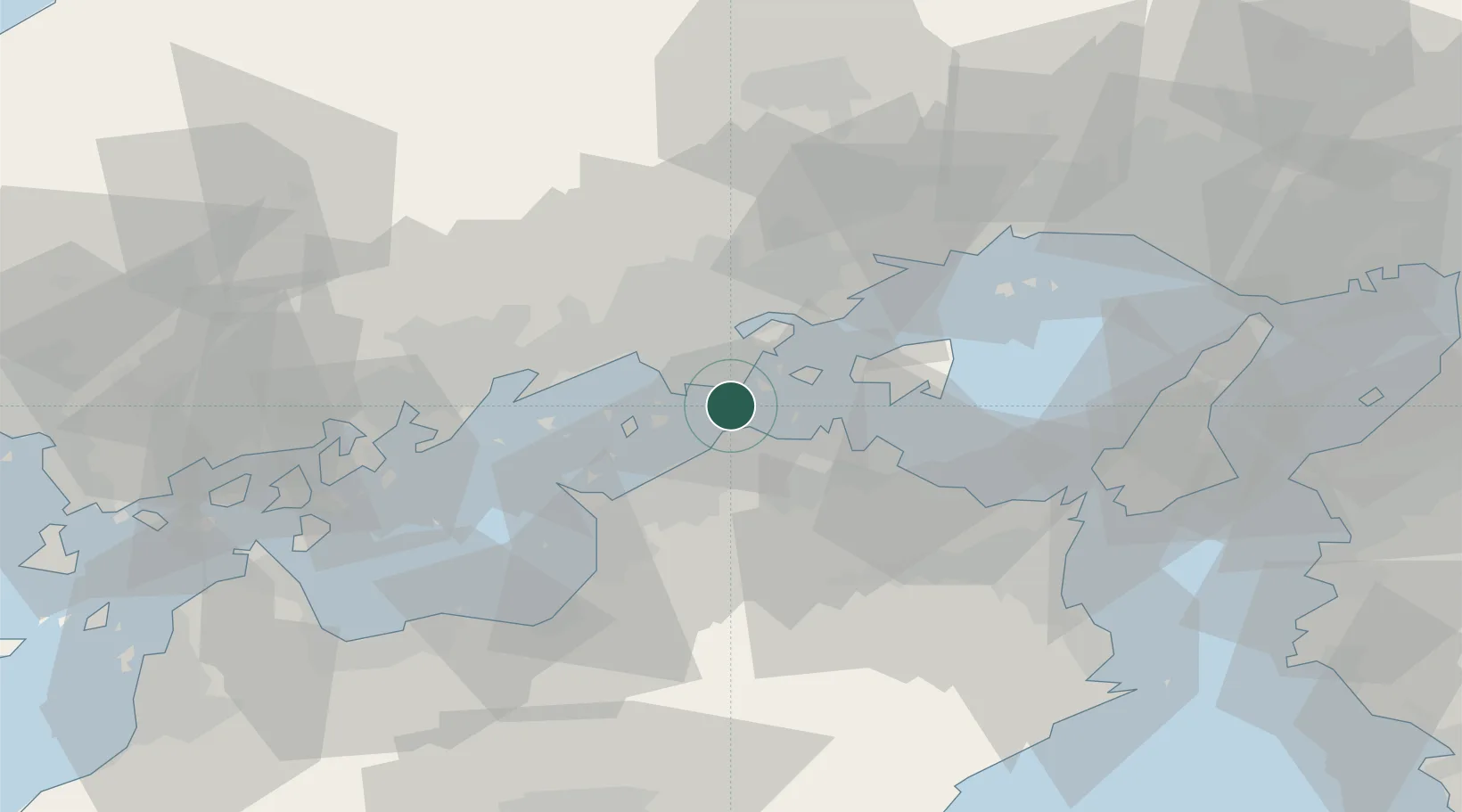
Hub Profile
Region
37
Location
Nearby Logistics Neighbours
Cities
- 1Takamatsu15 km
- 2Mizushima24 km
- 3Tamashima25 km
- 4Sanuki26 km
- 5Soja, Okayama32 km
Ports
- 1Hibi Ko4 km
- 2Uno Ko8 km
- 3Sakaide Ko11 km
- 4Takamatsu14 km
- 5Marugame Ko18 km
Airports
Trade Zones
- 1Takamatsu Compact Eco-City Special Zone17 km
- 2Kagawa Medical Welfare General Special Zone18 km
- 3Hyper & Green Innovation Mizushima Complex General Special Zone21 km
- 4Okayama-type Sustainable Socio-Economic Model Construction Comprehensive Special Zone27 km
- 5Hiroshima Environmental Tourism Model Urban Development Promotion Special Zone56 km
DatabookThe Record of Consolidated Knowledge
Japan beyond logistics?