Specialized Zone · Japan
Tokushima life innovation Comprehensive Special Zone Inactive
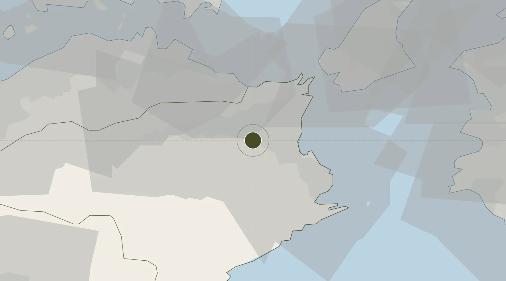
34.0428°, 134.4569°
37 ha
Zone area
13.5 km
Nearest port
17.1 km
Nearest airport
Gateway access
Zone profile
Zone type
Specialized Zone
Specialization
Medical
Region
Tokushima
Status
Inactive
Management
Public
Operator
Tokushima Prefecture Government - Policy Creation Division
Legal framework
National Regional Revitalization Comprehensive Special Zone Designation
Location
Nearby Logistics Neighbours
Ports
- 1Komatsushima14 km
- 2Tachibana28 km
- 3Takamatsu51 km
- 4Yura60 km
- 5Sakaide Ko65 km
Airports
Cities
- 1Kamiita, Tokushima10 km
- 2Tokushima13 km
- 3Komatsushima16 km
- 4Kamikatsu, Tokushima19 km
- 5Yoshinogawa Tokushima19 km
Trade Zones
- 1Takamatsu Compact Eco-City Special Zone48 km
- 2Awaji Environmental Future Island Special Zone53 km
- 3Kagawa Medical Welfare General Special Zone68 km
- 4Okayama-type Sustainable Socio-Economic Model Construction Comprehensive Special Zone84 km
- 5Hyper & Green Innovation Mizushima Complex General Special Zone86 km
DatabookThe Record of Consolidated Knowledge
Japan beyond logistics?