Channel & Berth Profile
Pilotage, Tugs & Services
Pilotage compulsoryNO
Pilotage availableYES
Local assistanceYES
Tug assistanceYES
Salvage tugsYES
Potable waterYES
Diesel bunkersYES
MedicalYES
Garbage disposalYES
Facilities & Capabilities
Container—
Ro-Ro—
Liquid bulk—
Dry bulk—
Oil terminal—
Break bulk—
Dry dockNO
RepairsNO
BunkeringYES
Rail link—
Dangerous cargo—
ISPS security—
Harbour Specifications
Harbour size
Very Small
Harbour type
Coastal (Breakwater)
Shelter
Fair
Water body
North Pacific Ocean
Tidal range
1 m
Pilotage
No
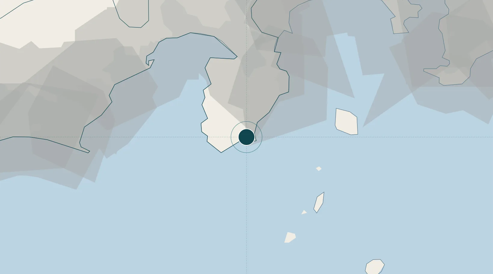
Location
Nearby Logistics Neighbours
Ports
- 1Shimizu Ko57 km
- 2Tagonoura Ko57 km
- 3Omaezaki Ko66 km
- 4Tateyama Ko86 km
- 5Uraga Ko94 km
Cities
- 1Iruma15 km
- 2Toshima/Tokyo33 km
- 3Nishitokyo54 km
- 4Shimizu58 km
- 5Omaezaki67 km
Airports
- 1Oshima Airport40 km
- 2Niijima Airport44 km
- 3JASDF Shizuhama Air Base62 km
- 4Mount Fuji Shizuoka Airport71 km
- 5Miyakejima Airport87 km
DatabookThe Record of Consolidated Knowledge
Japan beyond logistics?