Specialized Zone · Japan

Fuji-no-Kuni Advanced Medical Special Zone Active
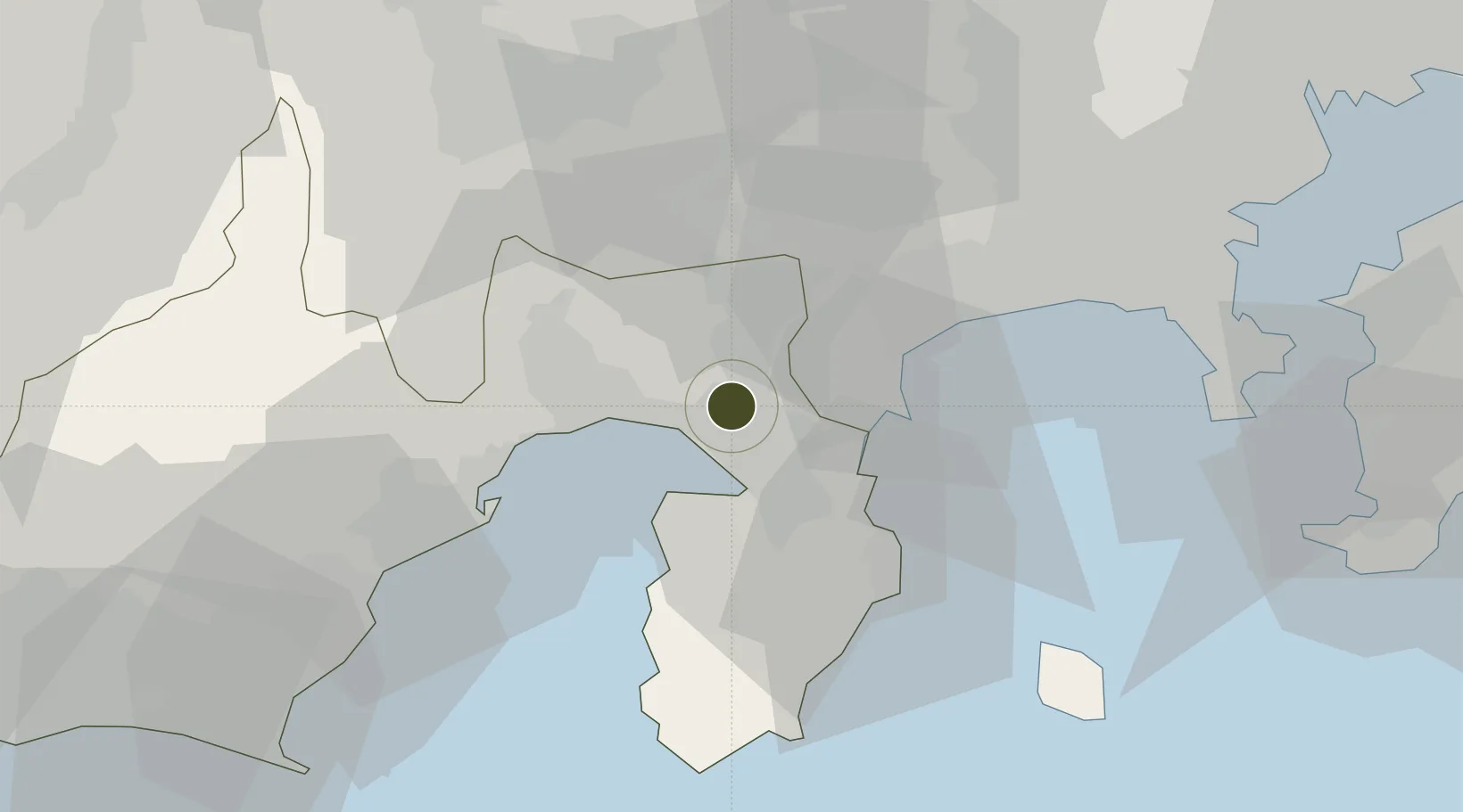
35.1566°, 138.8842°
4 ha
Zone area
16.9 km
Nearest port
60.1 km
Nearest airport

Gateway access

Nearest neighbours — logibook spatial index (haversine) over the source coordinates

Zone profile

Zone type
Specialized Zone
Open Zone Map
Specialization
Medical
Open Zone Map
Region
Shizuoka
Open Zone Map
Status
Active
Open Zone Map
Management
Public
Open Zone Map
Operator
Shizuoka Prefectural Office
Open Zone Map
Legal framework
Shizuoka Regional Activation Policy
Open Zone Map

Location

Location of ozm-2598
Natural Earth 10m (public domain) · Shizuoka · ozm-2598 · 35.16, 138.88GoogleOSMYandex

Nearby Logistics Neighbours

Ports
  1. 1Tagonoura Ko17 km
  2. 2Shimizu Ko38 km
  3. 3Shimoda Ko55 km
  4. 4Yokohama Ko71 km
  5. 5Yokosuka Ko73 km
Nearest neighbours — logibook spatial index (haversine) over the source coordinates
Airports
  1. 1Oshima Airport60 km
  2. 2JMSDF Atsugi Air Base / Naval Air Facility Atsugi61 km
  3. 3JASDF Shizuhama Air Base66 km
  4. 4Mount Fuji Shizuoka Airport75 km
  5. 5Yokota Air Base78 km
Nearest neighbours — logibook spatial index (haversine) over the source coordinates
Cities
  1. 1Oshino33 km
  2. 2Shimizu36 km
  3. 3Ninomiya37 km
  4. 4Hiratsuka46 km
  5. 5Otsuki50 km
Nearest neighbours — logibook spatial index (haversine) over the source coordinates
DatabookThe Record of Consolidated Knowledge
Japan beyond logistics?
Browse databook

All Sources

Trade ZonesOpen Zone Map
CC BY
Portsthe NGA World Port Index
Public domain (US gov)
AirportsOurAirports
Public domain
LocationsUN/LOCODE
UN/LOCODE — free
← Japan trade zones