Other Zone · Japan

Fujisawa Sustainable Smart Town Active
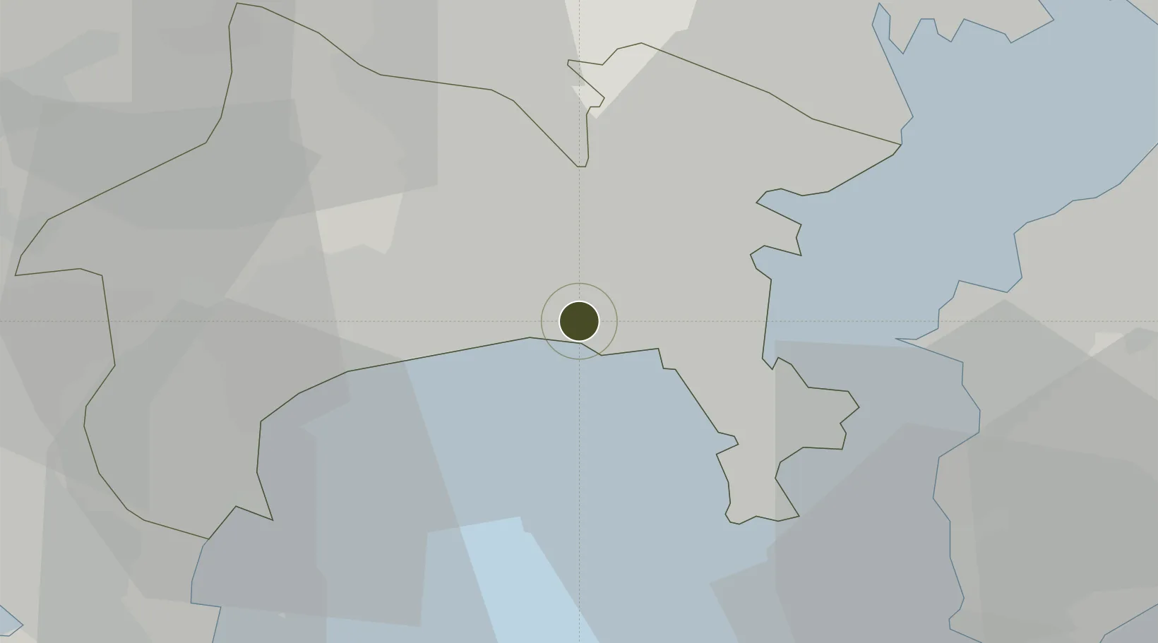
35.3353°, 139.4647°
19 ha
Zone area
16.7 km
Nearest port
13.3 km
Nearest airport

Gateway access

Nearest neighbours — logibook spatial index (haversine) over the source coordinates

Zone profile

Zone type
Other Zone
Open Zone Map
Region
Kanagawa
Open Zone Map
Status
Active
Open Zone Map
Management
Public-Private Partnership
Open Zone Map
Operator
Fujisawa SST Management Company
Open Zone Map
Legal framework
Revised Local Autonomy Law of 2001
Open Zone Map

Location

Location of ozm-2582
Natural Earth 10m (public domain) · Kanagawa · ozm-2582 · 35.34, 139.46GoogleOSMYandex

Nearby Logistics Neighbours

Ports
  1. 1Yokohama Ko17 km
  2. 2Yokosuka Ko19 km
  3. 3Uraga Ko26 km
  4. 4Kawasaki Ko33 km
  5. 5Kisarazu Ko38 km
Nearest neighbours — logibook spatial index (haversine) over the source coordinates
Airports
  1. 1JMSDF Atsugi Air Base / Naval Air Facility Atsugi13 km
  2. 2Tokyo Haneda International Airport38 km
  3. 3Chofu Airport38 km
  4. 4JGSDF Kisarazu Airfield41 km
  5. 5Yokota Air Base47 km
Nearest neighbours — logibook spatial index (haversine) over the source coordinates
Cities
  1. 1Fujisawa0 km
  2. 2Chigasaki6 km
  3. 3Hiratsuka11 km
  4. 4Ebina-Shi Kanagawa11 km
  5. 5Zushi12 km
Nearest neighbours — logibook spatial index (haversine) over the source coordinates
DatabookThe Record of Consolidated Knowledge
Japan beyond logistics?
Browse databook

All Sources

Trade ZonesOpen Zone Map
CC BY
Portsthe NGA World Port Index
Public domain (US gov)
AirportsOurAirports
Public domain
LocationsUN/LOCODE
UN/LOCODE — free
← Japan trade zones