Medium airport · Japan
Miyakejima AirportRJTQ
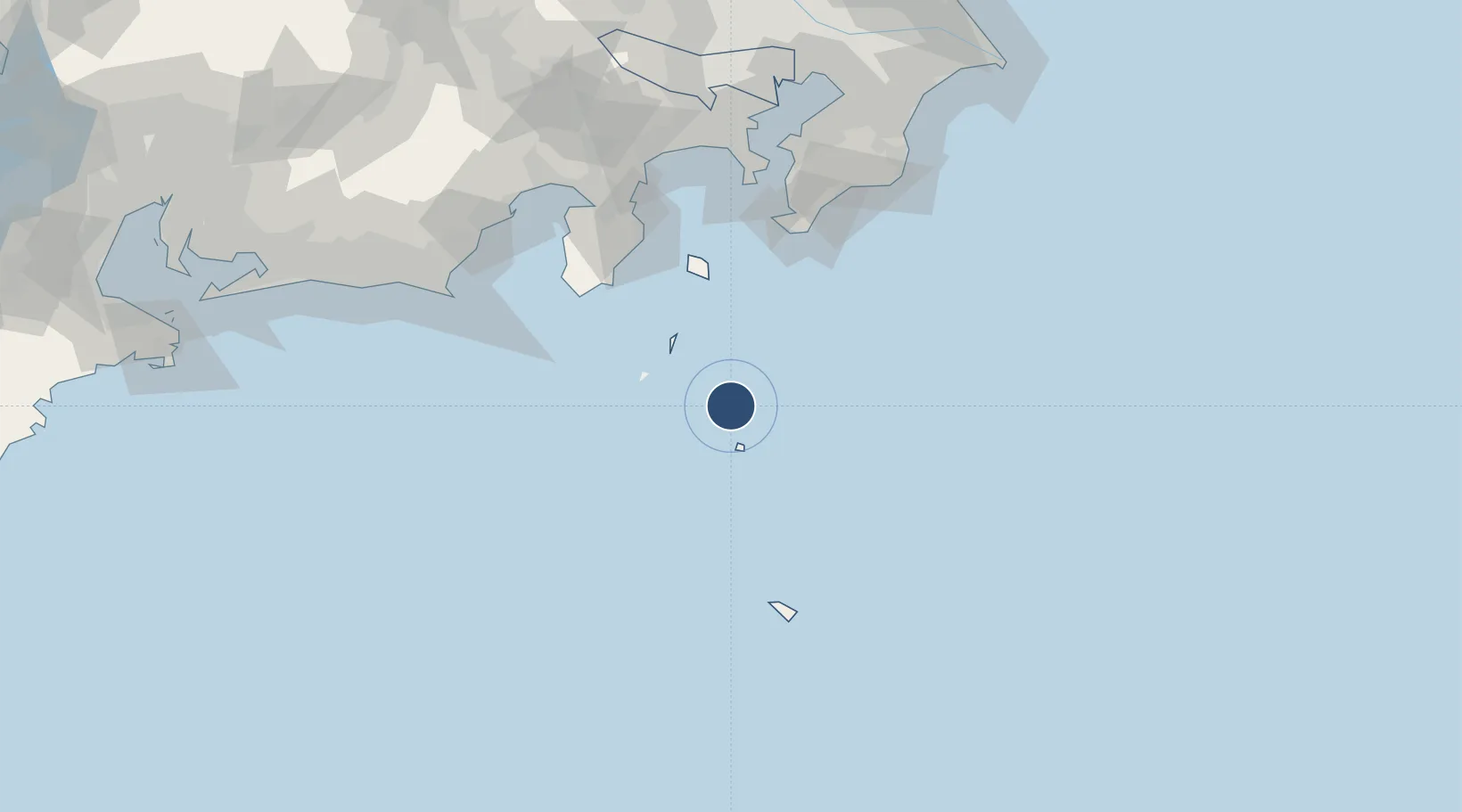
34.0736°, 139.5600°
4,350 ft
Longest runway
1
Runways
67 ft
Elevation
Runway & Layout

Radio Frequencies
A/G
118.05 MHz
RDO
Navaids
MJE VOR-DME Miyakejima 109.00 MHz
MOE VOR-DME Oyama 108.65 MHz
Runways · 1
| Runway | Dimensions | Surface | True heading | Lit |
|---|---|---|---|---|
| 02/20 | 4,350 × 100ft | Asphalt | 017° | ✓ |
Airport Specifications
IATA code
MYE
ICAO code
RJTQ
Airport class
Medium airport
Scheduled service
Yes
Runway surface
Asphalt
Served city
Miyakejima
Location
Nearby Logistics Neighbours
Airports
- 1Niijima Airport42 km
- 2Oshima Airport81 km
- 3JMSDF Tateyama Air Base105 km
- 4Hachijojima Airport109 km
- 5JASDF Shizuhama Air Base142 km
Cities
- 1Toshima/Tokyo56 km
- 2Nishitokyo73 km
- 3Iruma92 km
- 4Zushi135 km
- 5Yokosuka136 km
Ports
- 1Shimoda Ko87 km
- 2Tateyama Ko105 km
- 3Uraga Ko130 km
- 4Yokosuka Ko135 km
- 5Omaezaki Ko135 km
Trade Zones
DatabookThe Record of Consolidated Knowledge
Japan beyond logistics?