Channel & Berth Profile
Pilotage, Tugs & Services
Potable waterYES
MedicalYES
Facilities & Capabilities
Container—
Ro-Ro—
Liquid bulk—
Dry bulk—
Oil terminal—
Break bulk—
Dry dock—
Repairs—
BunkeringYES
Rail linkYES
Dangerous cargo—
ISPS security—
Harbour Specifications
Harbour size
Very Small
Harbour type
Coastal (Natural)
Shelter
Fair
Water body
North Pacific Ocean
Tidal range
1 m
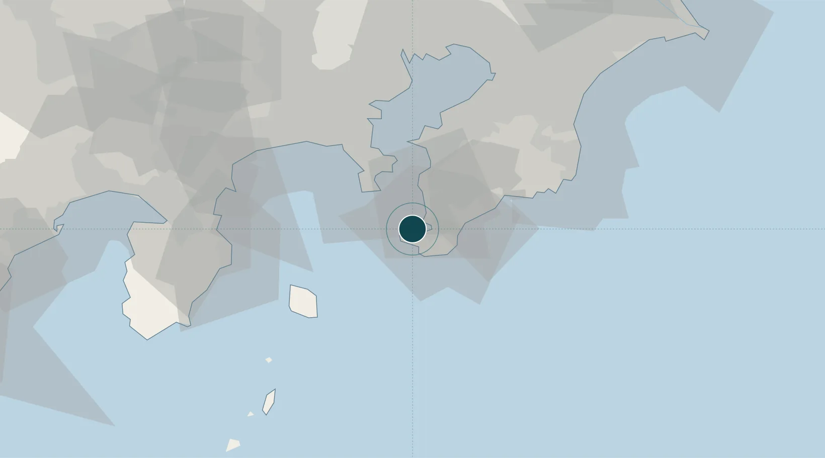
Location
Nearby Logistics Neighbours
Ports
- 1Uraga Ko27 km
- 2Yokosuka Ko34 km
- 3Kisarazu Ko42 km
- 4Yokohama Ko54 km
- 5Kawasaki Ko56 km
Cities
- 1Yokosuka34 km
- 2Zushi37 km
- 3Oppama37 km
- 4Nishitokyo38 km
- 5Fujisawa48 km
Airports
Trade Zones
DatabookThe Record of Consolidated Knowledge
Japan beyond logistics?