Transport Functions
Port
Road
Hub Profile
Region
13
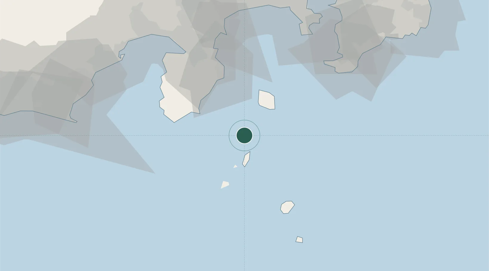
Location
Nearby Logistics Neighbours
Cities
- 1Nishitokyo34 km
- 2Iruma44 km
- 3Ninomiya87 km
- 4Hiratsuka89 km
- 5Chigasaki90 km
Ports
- 1Shimoda Ko33 km
- 2Tateyama Ko73 km
- 3Tagonoura Ko86 km
- 4Shimizu Ko89 km
- 5Uraga Ko90 km
Airports
- 1Niijima Airport16 km
- 2Oshima Airport31 km
- 3Miyakejima Airport56 km
- 4JMSDF Tateyama Air Base73 km
- 5JASDF Shizuhama Air Base95 km
DatabookThe Record of Consolidated Knowledge
Japan beyond logistics?