Medium airport · Japan
Oshima AirportRJTO
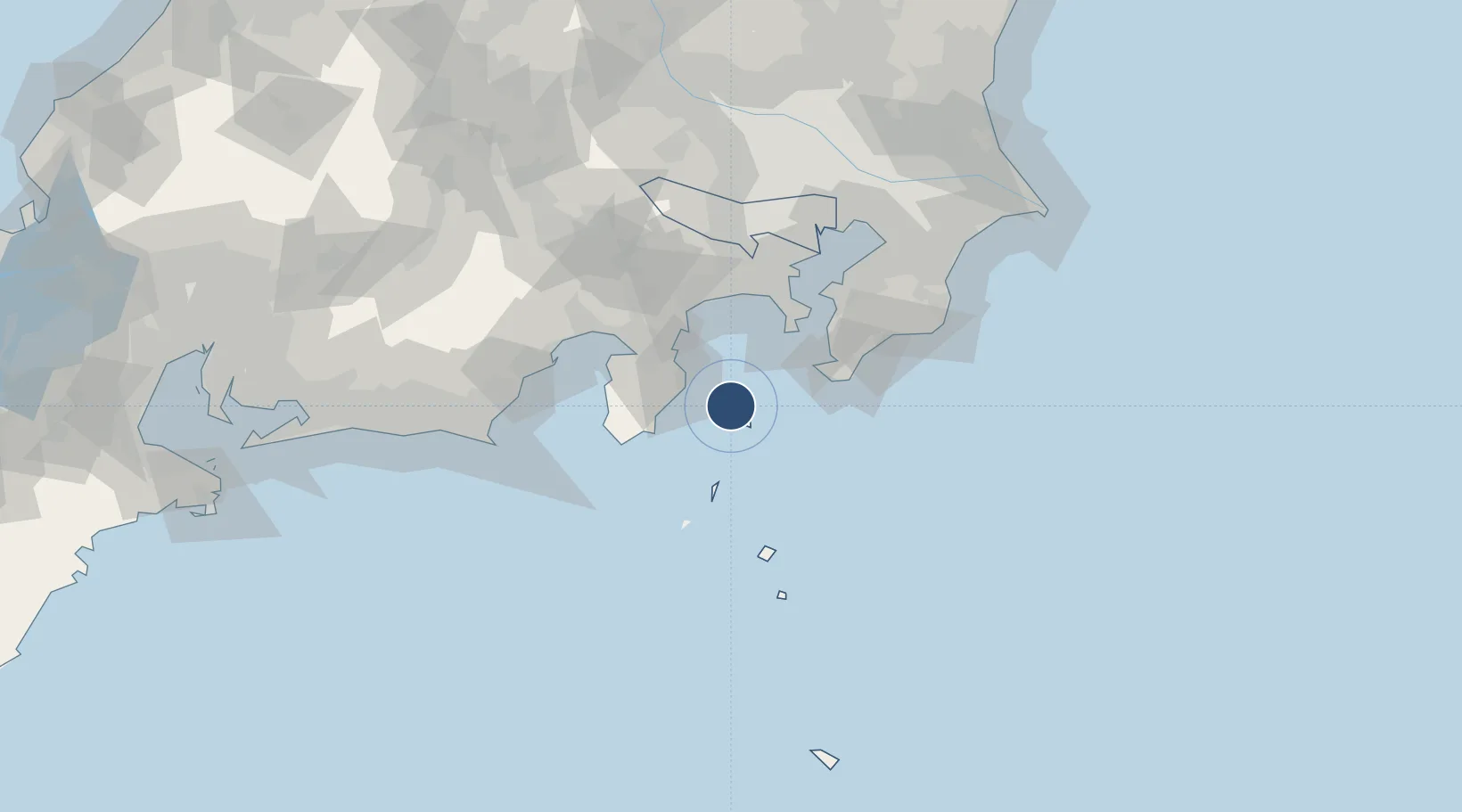
34.7820°, 139.3600°
5,905 ft
Longest runway
1
Runways
130 ft
Elevation
Runway & Layout

Radio Frequencies
RDO
118.6 MHz
Navaids
OSE VOR-DME Mihara 109.85 MHz
XA NDB Oshima 214 kHz
XAC VORTAC Oshima 113.10 MHz
Runways · 1
| Runway | Dimensions | Surface | True heading | Lit |
|---|---|---|---|---|
| 03/21 | 5,905 × 150ft | Asphalt | 020° | ✓ |
Airport Specifications
IATA code
OIM
ICAO code
RJTO
Airport class
Medium airport
Scheduled service
Yes
Runway surface
Asphalt
Served city
Izu Oshima
Location
Nearby Logistics Neighbours
Airports
Cities
- 1Nishitokyo17 km
- 2Toshima/Tokyo31 km
- 3Iruma54 km
- 4Ninomiya59 km
- 5Zushi59 km
Ports
- 1Shimoda Ko40 km
- 2Tateyama Ko47 km
- 3Uraga Ko60 km
- 4Yokosuka Ko62 km
- 5Tagonoura Ko72 km
DatabookThe Record of Consolidated Knowledge
Japan beyond logistics?