UN/LOCODE hub · Japan
JPNTO

Nishitokyo

34.7333°, 139.5333°
2
Transport functions

Transport Functions

Port
Multimodal
UN/LOCODE

Hub Profile

Place type
Provincial seat
GeoNames
Region
Tokyo
GeoNames
Time zone
Asia/Tokyo
GeoNames
Elevation
58 m
GeoNames

Location

Location of JPNTO
Natural Earth 10m (public domain) · Tokyo · JPNTO · 34.73, 139.53GoogleOSMYandex

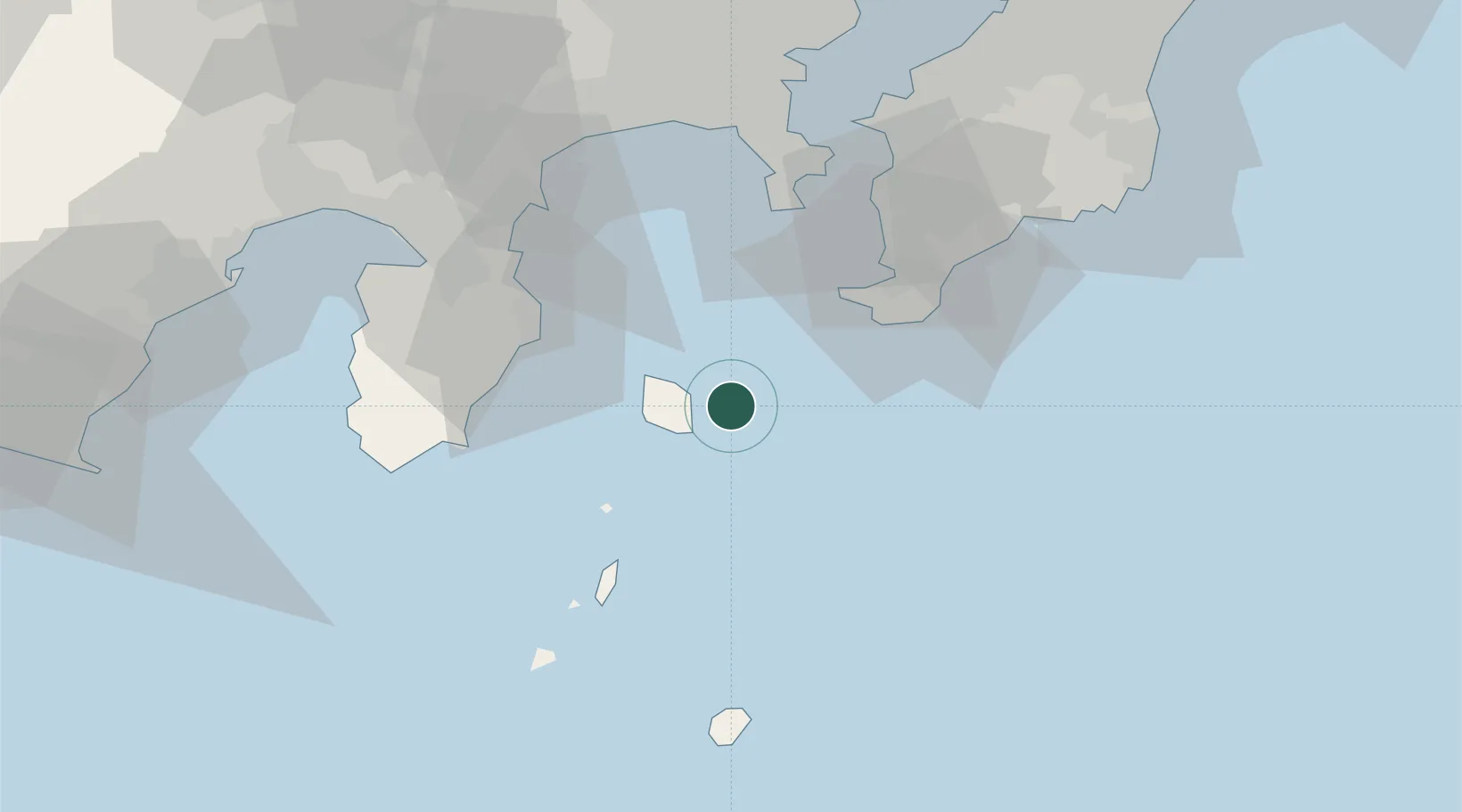
Nearby Logistics Neighbours

Cities
  1. 1Toshima/Tokyo34 km
  2. 2Zushi61 km
  3. 3Yokosuka63 km
  4. 4Oppama64 km
  5. 5Chigasaki66 km
Nearest neighbours — logibook spatial index (haversine) over the source coordinates
Ports
  1. 1Tateyama Ko38 km
  2. 2Shimoda Ko54 km
  3. 3Uraga Ko58 km
  4. 4Yokosuka Ko62 km
  5. 5Kisarazu Ko77 km
Nearest neighbours — logibook spatial index (haversine) over the source coordinates
Airports
  1. 1Oshima Airport17 km
  2. 2JMSDF Tateyama Air Base39 km
  3. 3Niijima Airport47 km
  4. 4Miyakejima Airport73 km
  5. 5JMSDF Atsugi Air Base / Naval Air Facility Atsugi81 km
Nearest neighbours — logibook spatial index (haversine) over the source coordinates
DatabookThe Record of Consolidated Knowledge
Japan beyond logistics?
Browse databook

All Sources

LocationsUN/LOCODE
UN/LOCODE — free
Portsthe NGA World Port Index
Public domain (US gov)
AirportsOurAirports
Public domain
Trade Zonesthe World Bank SEZ database
CC BY 4.0
Trade ZonesOpen Zone Map
CC BY
← Japan locations