Charter City · Japan

Woven City Toyota Under Development
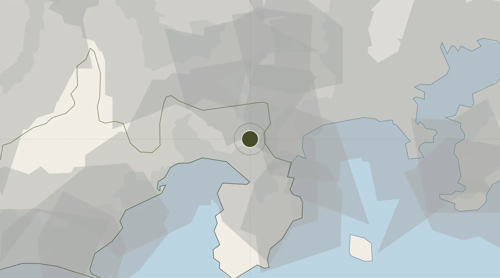
35.2227°, 138.9085°
70 ha
Zone area
21.4 km
Nearest port
55.5 km
Nearest airport

Gateway access

Nearest neighbours — logibook spatial index (haversine) over the source coordinates

Zone profile

Zone type
Charter City
Open Zone Map
Region
Shizuoka
Open Zone Map
Status
Under Development
Open Zone Map
Management
Private
Open Zone Map
Operator
Toyota Research Institute-Advanced Development / Nippon Telephone & Telegraph Corporation / Woven Planet Holdings
Open Zone Map
Legal framework
116th Notice of Convocation: Toyota Shareholders' Meeting
Open Zone Map

Location

Location of ozm-2571
Natural Earth 10m (public domain) · Shizuoka · ozm-2571 · 35.22, 138.91GoogleOSMYandex

Nearby Logistics Neighbours

Ports
  1. 1Tagonoura Ko21 km
  2. 2Shimizu Ko44 km
  3. 3Shimoda Ko62 km
  4. 4Yokohama Ko66 km
  5. 5Yokosuka Ko69 km
Nearest neighbours — logibook spatial index (haversine) over the source coordinates
Airports
  1. 1JMSDF Atsugi Air Base / Naval Air Facility Atsugi56 km
  2. 2Oshima Airport64 km
  3. 3Yokota Air Base71 km
  4. 4JASDF Shizuhama Air Base72 km
  5. 5Chofu Airport75 km
Nearest neighbours — logibook spatial index (haversine) over the source coordinates
Cities
  1. 1Oshino26 km
  2. 2Ninomiya32 km
  3. 3Hiratsuka41 km
  4. 4Shimizu42 km
  5. 5Otsuki42 km
Nearest neighbours — logibook spatial index (haversine) over the source coordinates
DatabookThe Record of Consolidated Knowledge
Japan beyond logistics?
Browse databook

All Sources

Trade ZonesOpen Zone Map
CC BY
Portsthe NGA World Port Index
Public domain (US gov)
AirportsOurAirports
Public domain
LocationsUN/LOCODE
UN/LOCODE — free
← Japan trade zones