Channel & Berth Profile
Pilotage, Tugs & Services
Pilotage compulsoryNO
Pilotage availableYES
Pilotage advisableYES
Tug assistanceYES
Shore powerYES
Potable waterYES
MedicalYES
Garbage disposalNO
Facilities & Capabilities
Container—
Ro-Ro—
Liquid bulk—
Dry bulk—
Oil terminal—
Break bulk—
Dry dockNO
RepairsNO
BunkeringYES
Rail linkYES
Dangerous cargo—
ISPS security—
Harbour Specifications
Harbour size
Medium
Harbour type
River (Basins)
Shelter
Good
Water body
North Pacific Ocean
Tidal range
1 m
Overhead limit
Yes
Pilotage
No
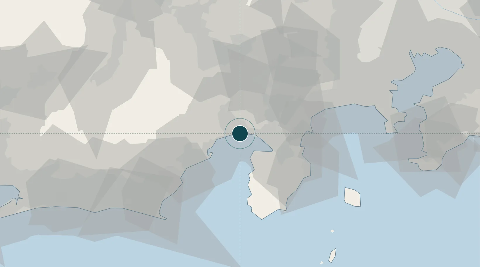
Location
Nearby Logistics Neighbours
Ports
- 1Shimizu Ko22 km
- 2Shimoda Ko57 km
- 3Omaezaki Ko73 km
- 4Yokohama Ko88 km
- 5Yokosuka Ko89 km
Cities
- 1Shimizu20 km
- 2Oshino37 km
- 3Fujieda, Shizuoka51 km
- 4Nakamichi51 km
- 5Ninomiya53 km
Airports
DatabookThe Record of Consolidated Knowledge
Japan beyond logistics?