Small airport · Japan
Niijima AirportRJAN
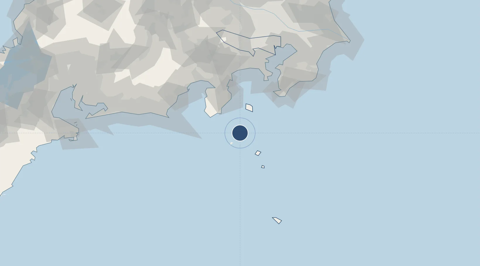
34.3694°, 139.2690°
2,625 ft
Longest runway
1
Runways
92 ft
Elevation
Runway & Layout

Runways · 1
| Runway | Dimensions | Surface | True heading | Lit |
|---|---|---|---|---|
| 11/29 | 2,625 × —ft | Unknown | — | — |
Airport Specifications
ICAO code
RJAN
Airport class
Small airport
Scheduled service
Yes
Runway surface
Unknown
Served city
Niijima Village
Location
Nearby Logistics Neighbours
Airports
- 1Miyakejima Airport42 km
- 2Oshima Airport47 km
- 3JMSDF Tateyama Air Base86 km
- 4JASDF Shizuhama Air Base102 km
- 5Mount Fuji Shizuoka Airport110 km
Cities
- 1Toshima/Tokyo16 km
- 2Nishitokyo47 km
- 3Iruma51 km
- 4Omaezaki100 km
- 5Shimizu102 km
Ports
- 1Shimoda Ko44 km
- 2Tateyama Ko85 km
- 3Omaezaki Ko98 km
- 4Tagonoura Ko100 km
- 5Shimizu Ko101 km
Trade Zones
DatabookThe Record of Consolidated Knowledge
Japan beyond logistics?