Diversified Zone · Japan
Fuji-no-kuni Disaster Mitigation Regional Growth Model Comprehensive Special Zone Active
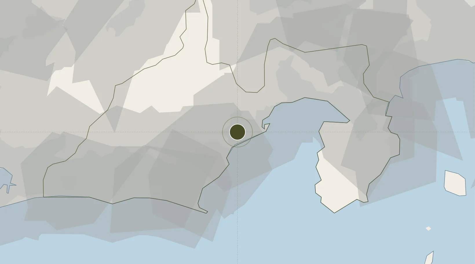
34.9768°, 138.3798°
778,042 ha
Zone area
11.8 km
Nearest port
19.7 km
Nearest airport
Gateway access
Zone profile
Zone type
Diversified Zone
Region
Shizuoka
Status
Active
Management
Public-Private Partnership
Operator
Shizuoka Prefecture General Policy Division
Legal framework
Comprehensive Special Zone Law (Law No. 81 of 2011)
Location
Nearby Logistics Neighbours
Ports
- 1Shimizu Ko12 km
- 2Tagonoura Ko34 km
- 3Omaezaki Ko44 km
- 4Shimoda Ko62 km
- 5Mikawa103 km
Airports
- 1JASDF Shizuhama Air Base20 km
- 2Mount Fuji Shizuoka Airport27 km
- 3JASDF Hamamatsu Air Base67 km
- 4Oshima Airport92 km
- 5Niijima Airport106 km
Cities
- 1Shimizu14 km
- 2Fujieda, Shizuoka17 km
- 3Shimada24 km
- 4Makinohara30 km
- 5Omaezaki42 km
DatabookThe Record of Consolidated Knowledge
Japan beyond logistics?