UN/LOCODE hub · Japan
JPSMZ

Shimizu

35.0406°, 138.5103°
1
Transport functions
2
Container terminals

Transport Functions

Port
Shimizu is also a profiled seaport →
UN/LOCODE

Hub Profile

Place type
Locality
GeoNames
Region
Shizuoka
GeoNames
Time zone
Asia/Tokyo
GeoNames
Elevation
56 m
GeoNames
Logistics facilities
7
UN/LOCODE
Container terminals
2
UN/LOCODE

Location

Location of JPSMZ
Natural Earth 10m (public domain) · Shizuoka · JPSMZ · 35.04, 138.51GoogleOSMYandex

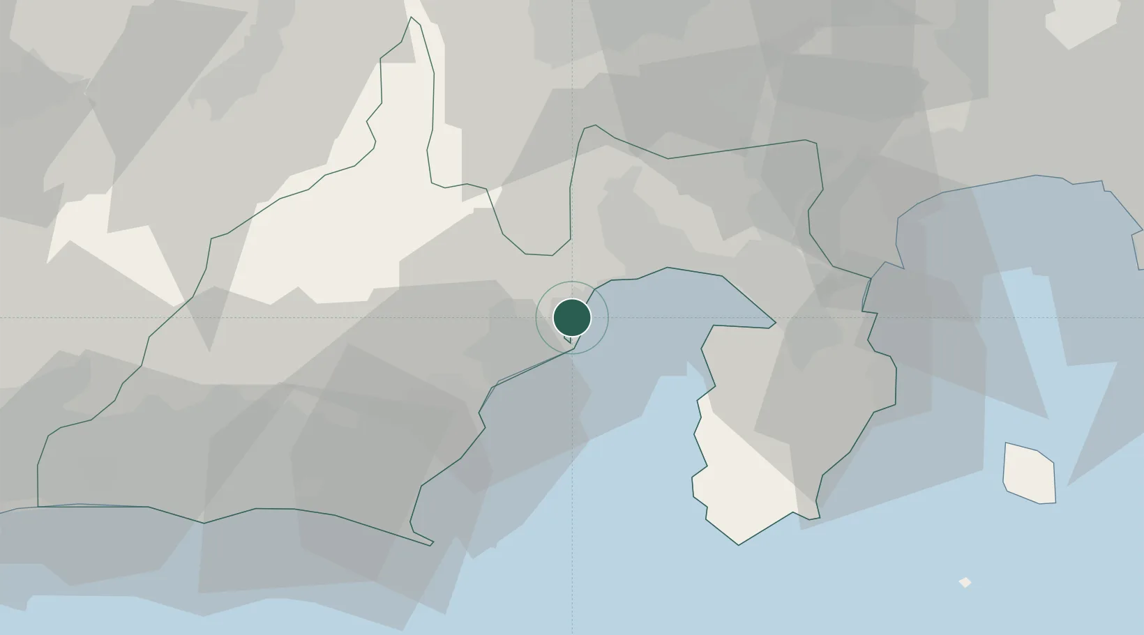
Nearby Logistics Neighbours

Cities
  1. 1Fujieda, Shizuoka31 km
  2. 2Shimada38 km
  3. 3Makinohara44 km
  4. 4Omaezaki53 km
  5. 5Iruma54 km
Nearest neighbours — logibook spatial index (haversine) over the source coordinates
Ports
  1. 1Tagonoura Ko20 km
  2. 2Omaezaki Ko55 km
  3. 3Shimoda Ko58 km
  4. 4Yokohama Ko108 km
  5. 5Yokosuka Ko109 km
Nearest neighbours — logibook spatial index (haversine) over the source coordinates
Airports
  1. 1JASDF Shizuhama Air Base32 km
  2. 2Mount Fuji Shizuoka Airport40 km
  3. 3JASDF Hamamatsu Air Base80 km
  4. 4Oshima Airport83 km
  5. 5JMSDF Atsugi Air Base / Naval Air Facility Atsugi97 km
Nearest neighbours — logibook spatial index (haversine) over the source coordinates
DatabookThe Record of Consolidated Knowledge
Japan beyond logistics?
Browse databook

All Sources

LocationsUN/LOCODE
UN/LOCODE — free
Portsthe NGA World Port Index
Public domain (US gov)
AirportsOurAirports
Public domain
Trade Zonesthe World Bank SEZ database
CC BY 4.0
Trade ZonesOpen Zone Map
CC BY
← Japan locations