Transport Functions
Multimodal
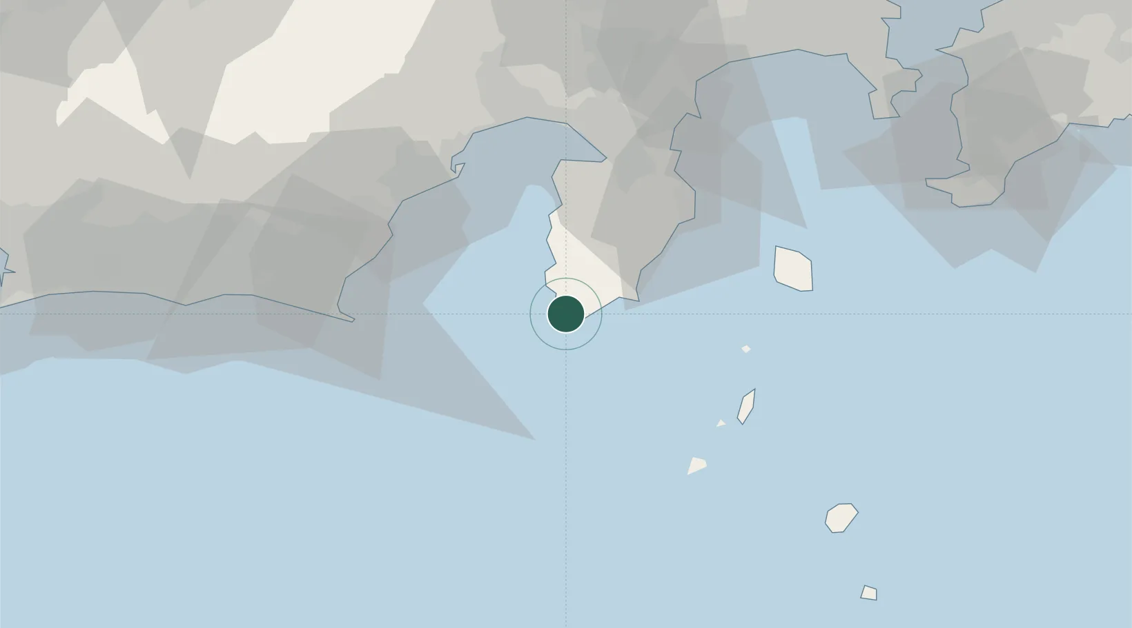
Hub Profile
Place type
Populated place
Region
Shizuoka
Time zone
Asia/Tokyo
Elevation
21 m
Location
Nearby Logistics Neighbours
Cities
- 1Toshima/Tokyo44 km
- 2Omaezaki53 km
- 3Shimizu54 km
- 4Fujieda, Shizuoka60 km
- 5Shimada61 km
Ports
- 1Shimoda Ko15 km
- 2Omaezaki Ko52 km
- 3Shimizu Ko52 km
- 4Tagonoura Ko58 km
- 5Tateyama Ko101 km
Airports
- 1JASDF Shizuhama Air Base51 km
- 2Niijima Airport51 km
- 3Oshima Airport54 km
- 4Mount Fuji Shizuoka Airport59 km
- 5Miyakejima Airport92 km
DatabookThe Record of Consolidated Knowledge
Japan beyond logistics?