Channel & Berth Profile
Pilotage, Tugs & Services
Pilotage compulsoryNO
Pilotage availableYES
Pilotage advisableNO
Tug assistanceYES
Potable waterYES
Diesel bunkersYES
MedicalYES
Facilities & Capabilities
Container—
Ro-Ro—
Liquid bulk—
Dry bulk—
Oil terminal—
Break bulk—
Dry dockNO
RepairsNO
BunkeringYES
Rail linkYES
Dangerous cargo—
ISPS security—
Harbour Specifications
Harbour size
Small
Harbour type
Coastal (Natural)
Shelter
Fair
Water body
Sea of Japan; North Pacific Ocean
Tidal range
2 m
Overhead limit
Yes
Pilotage
No
Liner Connectivity
18.2
PLSCI
Port Liner Shipping Connectivity Index for Sakai Ko, as published by UNCTAD for the latest available quarter. Higher values indicate stronger scheduled liner-shipping integration.
Shown relative to the highest per-port PLSCI in the dataset (1,657.9).
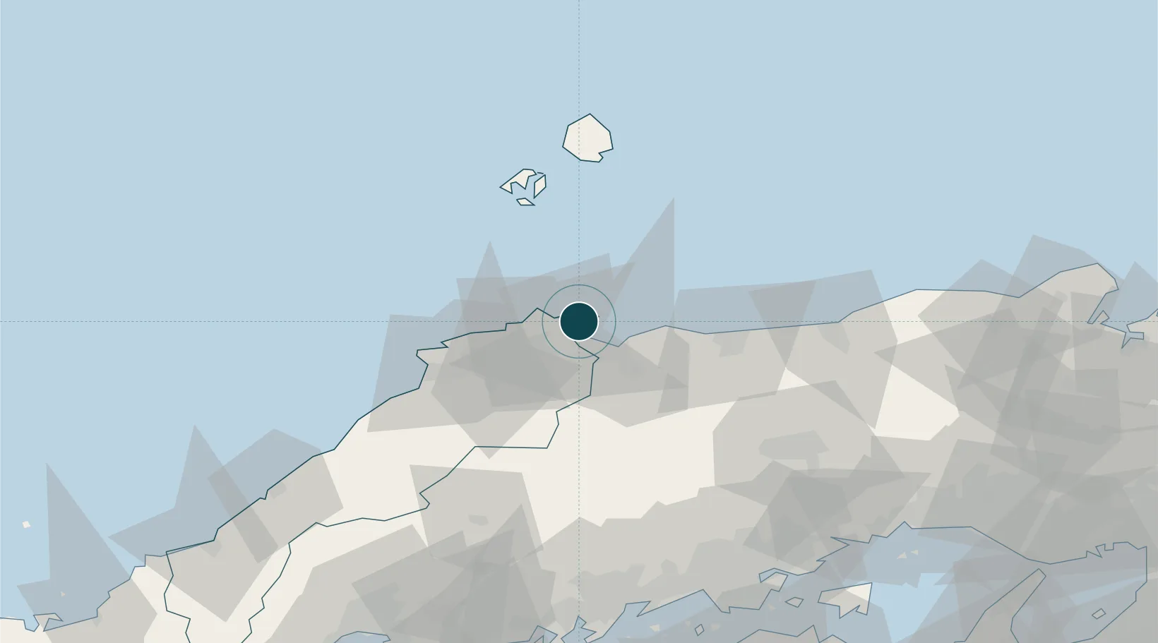
Location
Nearby Logistics Neighbours
Ports
- 1Sakaiminato2 km
- 2Fukuyama125 km
- 3Mizushima Ko125 km
- 4Hamada Ko128 km
- 5Onomichi-Itozaki130 km
Cities
- 1Sakaiminato1 km
- 2Hoki23 km
- 3Unnan43 km
- 4Hokuei47 km
- 5Tsuyama, Okayama68 km
Airports
Trade Zones
- 1Tatara Satoyama Regeneration Special Zone42 km
- 2Okayama-type Sustainable Socio-Economic Model Construction Comprehensive Special Zone117 km
- 3Hiroshima Environmental Tourism Model Urban Development Promotion Special Zone122 km
- 4Hyper & Green Innovation Mizushima Complex General Special Zone123 km
- 5Onomichi Regional Medical Cooperation Promotion Special Zone128 km
DatabookThe Record of Consolidated Knowledge
Japan beyond logistics?