Medium airport · Japan
Oki Global Geopark AirportRJNO
36.1784°, 133.3236°
6,531 ft
Longest runway
2
Runways
311 ft
Elevation
Runway & Layout

Radio Frequencies
RDO
118.65 MHz
REMOTE
Navaids
OIE VOR-DME Oki 109.25 MHz
Runways · 2
| Runway | Dimensions | Surface | True heading | Lit |
|---|---|---|---|---|
| 08/26 | 6,531 × 148ft | Asphalt | 060° | ✓ |
| 07/25 | — | Unknown | — | — |
Airport Specifications
IATA code
OKI
ICAO code
RJNO
Airport class
Medium airport
Scheduled service
Yes
Runway surface
Asphalt
Served city
Okinoshima
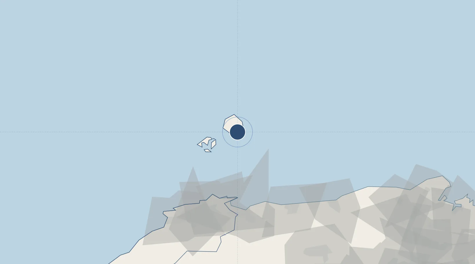
Location
Nearby Logistics Neighbours
Airports
Cities
- 1Sakaiminato71 km
- 2Hokuei87 km
- 3Hoki89 km
- 4Tsuyama, Okayama97 km
- 5Unnan107 km
Ports
- 1Sakai Ko70 km
- 2Sakaiminato72 km
- 3Hamada Ko181 km
- 4Miyazu184 km
- 5Aioi187 km
Trade Zones
- 1Tatara Satoyama Regeneration Special Zone104 km
- 2Yabu City Strategic Special Zone156 km
- 3Okayama-type Sustainable Socio-Economic Model Construction Comprehensive Special Zone178 km
- 4Hyper & Green Innovation Mizushima Complex General Special Zone189 km
- 5Hiroshima Environmental Tourism Model Urban Development Promotion Special Zone192 km
DatabookThe Record of Consolidated Knowledge
Japan beyond logistics?