Transport Functions
Multimodal
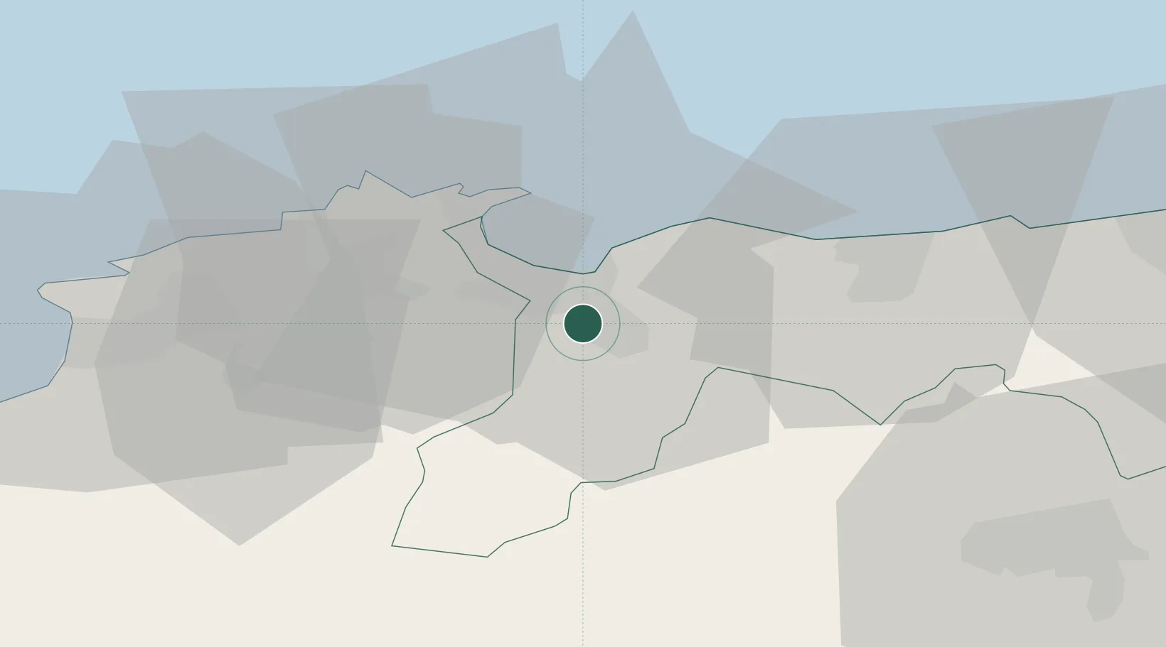
Hub Profile
Place type
Populated place
Region
Yamagata
Time zone
Asia/Tokyo
Elevation
21 m
Location
Nearby Logistics Neighbours
Cities
- 1Sakaiminato23 km
- 2Hokuei35 km
- 3Unnan47 km
- 4Tsuyama, Okayama56 km
- 5Mitsu Kanagawa81 km
Ports
- 1Sakaiminato23 km
- 2Sakai Ko23 km
- 3Mizushima Ko103 km
- 4Fukuyama106 km
- 5Uno Ko112 km
Airports
Trade Zones
- 1Tatara Satoyama Regeneration Special Zone46 km
- 2Okayama-type Sustainable Socio-Economic Model Construction Comprehensive Special Zone94 km
- 3Hyper & Green Innovation Mizushima Complex General Special Zone101 km
- 4Hiroshima Environmental Tourism Model Urban Development Promotion Special Zone104 km
- 5Onomichi Regional Medical Cooperation Promotion Special Zone113 km
DatabookThe Record of Consolidated Knowledge
Japan beyond logistics?