Channel & Berth Profile
Pilotage, Tugs & Services
Pilotage compulsoryNO
Pilotage availableYES
Pilotage advisableYES
Tug assistanceYES
Potable waterYES
MedicalYES
Facilities & Capabilities
Container—
Ro-Ro—
Liquid bulk—
Dry bulk—
Oil terminal—
Break bulk—
Dry dock—
RepairsNO
BunkeringYES
Rail linkYES
Dangerous cargo—
ISPS security—
Harbour Specifications
Harbour size
Very Small
Harbour type
Coastal (Natural)
Shelter
Fair
Water body
Sea of Japan; North Pacific Ocean
Tidal range
1 m
Pilotage
No
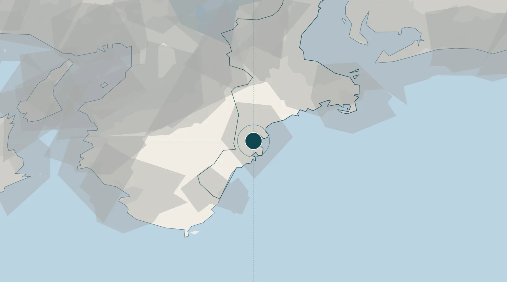
Location
Nearby Logistics Neighbours
Ports
- 1Shingu49 km
- 2Matsusaka68 km
- 3Toba74 km
- 4Tanabe Ko88 km
- 5Sakai-Senboku90 km
Cities
- 1Yoshino, Nara50 km
- 2Gose62 km
- 3Nabari64 km
- 4Katsuragi, Nara64 km
- 5Tondabayashi74 km
Airports
Trade Zones
- 1Wakayama Prefecture "Takano Kumano" Cultural and Regional Promotion Comprehensive Special Zone61 km
- 2Mie Life Innovation Comprehensive Special Zone76 km
- 3Nara Park Tourist Area Revitalization Comprehensive Special Zone77 km
- 4Rinku Town Izumisano City Area Regional Revitalization Comprehensive Special Zone92 km
- 5Kansai Innovation International Strategic Comprehensive Special Zone96 km
DatabookThe Record of Consolidated Knowledge
Japan beyond logistics?