Channel & Berth Profile
Pilotage, Tugs & Services
Pilotage compulsoryNO
Pilotage availableYES
Local assistanceYES
Tug assistanceYES
Potable waterYES
MedicalYES
Facilities & Capabilities
Container—
Ro-Ro—
Liquid bulk—
Dry bulk—
Oil terminal—
Break bulk—
Dry dock—
RepairsNO
BunkeringYES
Rail link—
Dangerous cargo—
ISPS security—
Harbour Specifications
Harbour size
Very Small
Harbour type
Coastal (Natural)
Shelter
Fair
Water body
Sea of Japan; North Pacific Ocean
Tidal range
2 m
Pilotage
No
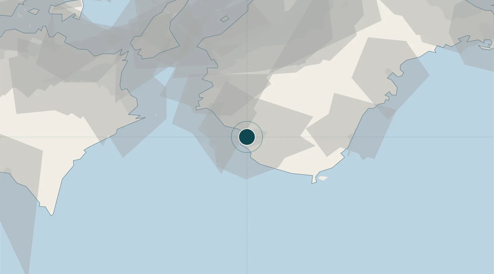
Location
Nearby Logistics Neighbours
Ports
- 1Yura36 km
- 2Shingu57 km
- 3Wakayama-Shimotsu Ko58 km
- 4Tachibana67 km
- 5Komatsushima78 km
Cities
- 1Gobo Wakayama27 km
- 2Dejima56 km
- 3Wakayama58 km
- 4Iwade60 km
- 5Kinokawa61 km
Airports
Trade Zones
- 1Wakayama Prefecture "Takano Kumano" Cultural and Regional Promotion Comprehensive Special Zone59 km
- 2Rinku Town Izumisano City Area Regional Revitalization Comprehensive Special Zone76 km
- 3Awaji Environmental Future Island Special Zone82 km
- 4Tokushima life innovation Comprehensive Special Zone92 km
- 5Kansai Innovation International Strategic Comprehensive Special Zone108 km
DatabookThe Record of Consolidated Knowledge
Japan beyond logistics?