Seaport · Japan
Sakai-SenbokuJPSBK
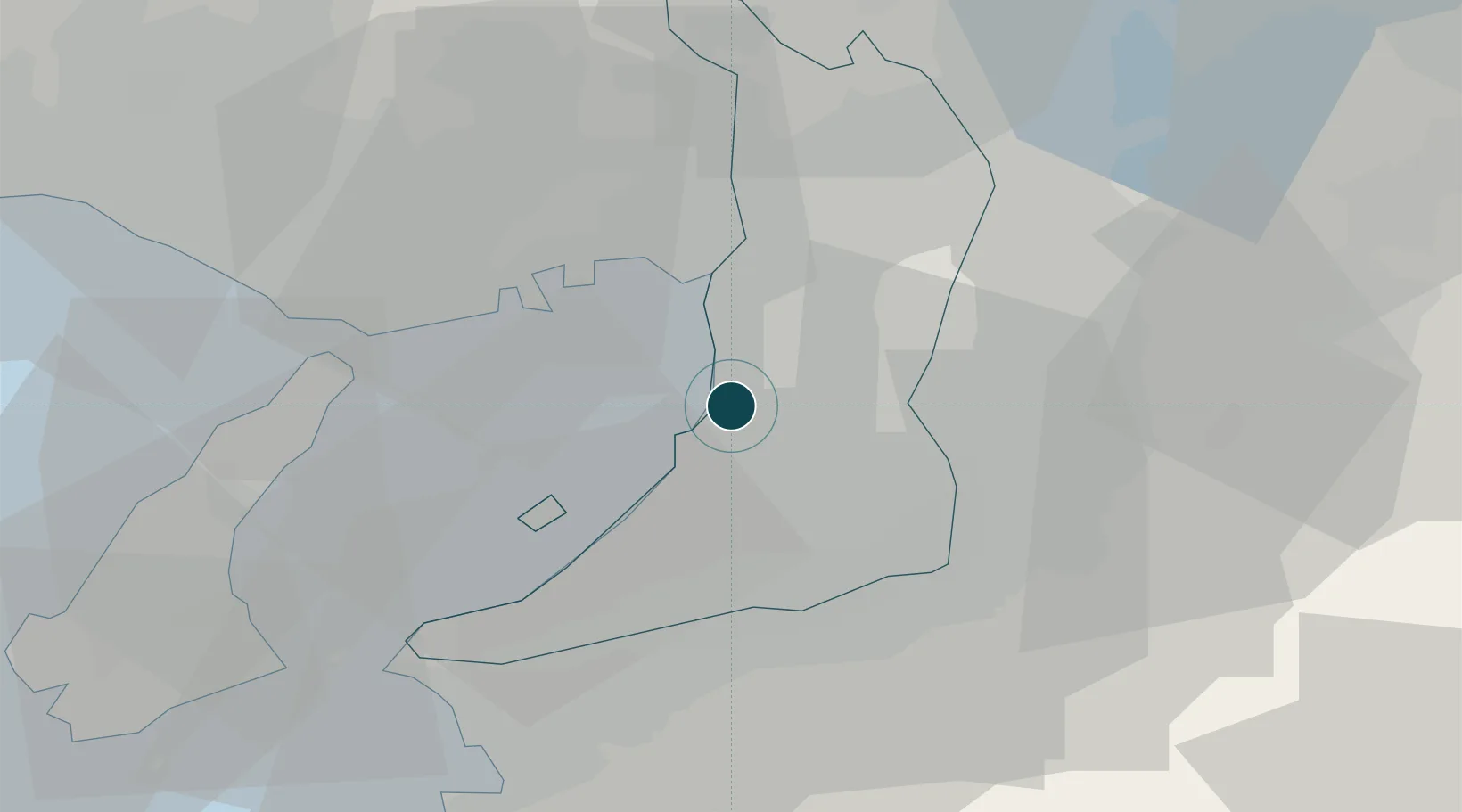
34.5500°, 135.4333°
15.5 m
Channel depth
1
Container terminals
23.3
Port liner connectivity
Channel & Berth Profile
Pilotage, Tugs & Services
Pilotage compulsoryYES
Pilotage availableYES
Pilotage advisableYES
Tug assistanceYES
Shore powerNO
Potable waterYES
Diesel bunkersYES
MedicalYES
Facilities & Capabilities
Container—
Ro-Ro—
Liquid bulk—
Dry bulk—
Oil terminal—
Break bulk—
Dry dockNO
RepairsNO
BunkeringYES
Rail linkYES
Dangerous cargo—
ISPS security—
Harbour Specifications
Harbour size
Medium
Harbour type
Coastal (Breakwater)
Shelter
Good
Water body
Sea of Japan; North Pacific Ocean
Tidal range
1 m
Overhead limit
Yes
Pilotage
Yes
Liner Connectivity
23.3
PLSCI
Port Liner Shipping Connectivity Index for Sakai-Senboku, as published by UNCTAD for the latest available quarter. Higher values indicate stronger scheduled liner-shipping integration.
Shown relative to the highest per-port PLSCI in the dataset (1,657.9).
Location
Container Terminals · 1
SAKAI-SENBOKU SUKEMATSU PIER NO. 8
SKM SAKAI-SENBOKU WHARF CO., LTD.
Nearby Logistics Neighbours
Ports
- 1Osaka11 km
- 2Hannan Ko12 km
- 3Amagasaki17 km
- 4Kobe25 km
- 5Wakayama-Shimotsu Ko48 km
Cities
- 1Toyonaka8 km
- 2Osaka10 km
- 3Osakasayama, Osaka12 km
- 4Konohana-Ku, Osaka13 km
- 5Minato-Ku, Osaka13 km
Airports
Trade Zones
- 1Kansai Innovation International Strategic Comprehensive Special Zone16 km
- 2Rinku Town Izumisano City Area Regional Revitalization Comprehensive Special Zone21 km
- 3Wakayama Prefecture "Takano Kumano" Cultural and Regional Promotion Comprehensive Special Zone40 km
- 4Nara Park Tourist Area Revitalization Comprehensive Special Zone40 km
- 5Awaji Environmental Future Island Special Zone54 km
DatabookThe Record of Consolidated Knowledge
Japan beyond logistics?