Transport Functions
Multimodal
Hub Profile
Place type
Provincial seat
Region
Nara
Population
26,522
Time zone
Asia/Tokyo
Elevation
105 m
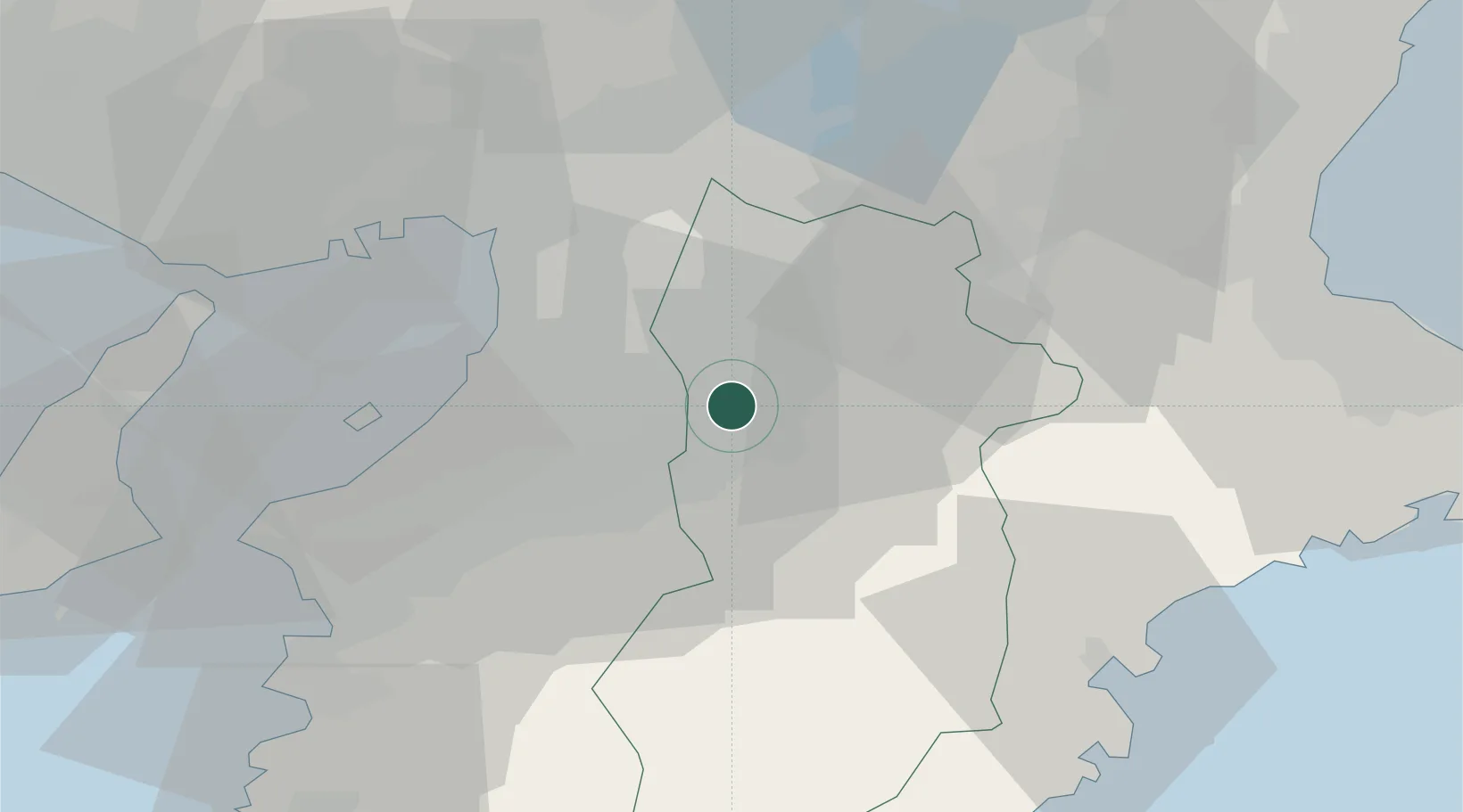
Location
Nearby Logistics Neighbours
Cities
- 1Katsuragi, Nara4 km
- 2Yoshino, Nara12 km
- 3Tondabayashi13 km
- 4Habikino17 km
- 5Kawachi Nagano17 km
Ports
- 1Sakai-Senboku30 km
- 2Hannan Ko35 km
- 3Osaka35 km
- 4Amagasaki42 km
- 5Kobe55 km
Airports
- 1Yao Airport20 km
- 2Kansai International Airport45 km
- 3Osaka Itami International Airport46 km
- 4Kobe Airport51 km
- 5Nanki Shirahama Airport94 km
Trade Zones
- 1Nara Park Tourist Area Revitalization Comprehensive Special Zone28 km
- 2Wakayama Prefecture "Takano Kumano" Cultural and Regional Promotion Comprehensive Special Zone29 km
- 3Kansai Innovation International Strategic Comprehensive Special Zone35 km
- 4Rinku Town Izumisano City Area Regional Revitalization Comprehensive Special Zone40 km
- 5Mie Life Innovation Comprehensive Special Zone50 km
DatabookThe Record of Consolidated Knowledge
Japan beyond logistics?