Transport Functions
Multimodal
Hub Profile
Region
29
Location
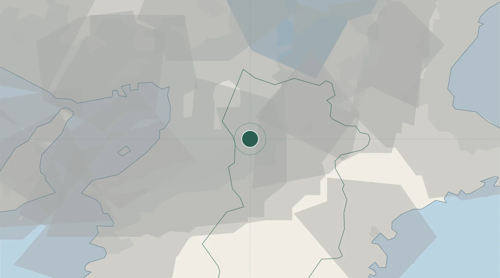
Nearby Logistics Neighbours
Cities
- 1Gose4 km
- 2Tondabayashi12 km
- 3Yoshino, Nara14 km
- 4Habikino14 km
- 5Fujiidera15 km
Ports
- 1Sakai-Senboku29 km
- 2Osaka33 km
- 3Hannan Ko35 km
- 4Amagasaki40 km
- 5Kobe54 km
Airports
- 1Yao Airport17 km
- 2Osaka Itami International Airport43 km
- 3Kansai International Airport45 km
- 4Kobe Airport50 km
- 5Nanki Shirahama Airport97 km
Trade Zones
- 1Nara Park Tourist Area Revitalization Comprehensive Special Zone25 km
- 2Kansai Innovation International Strategic Comprehensive Special Zone32 km
- 3Wakayama Prefecture "Takano Kumano" Cultural and Regional Promotion Comprehensive Special Zone33 km
- 4Rinku Town Izumisano City Area Regional Revitalization Comprehensive Special Zone41 km
- 5Mie Life Innovation Comprehensive Special Zone48 km
DatabookThe Record of Consolidated Knowledge
Japan beyond logistics?